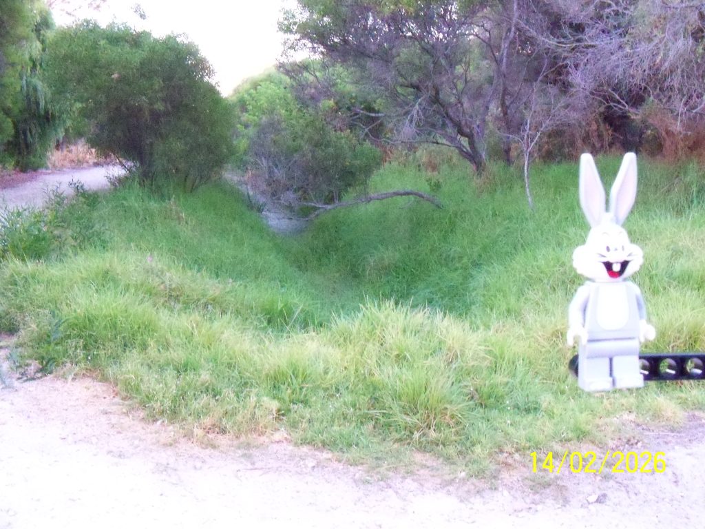
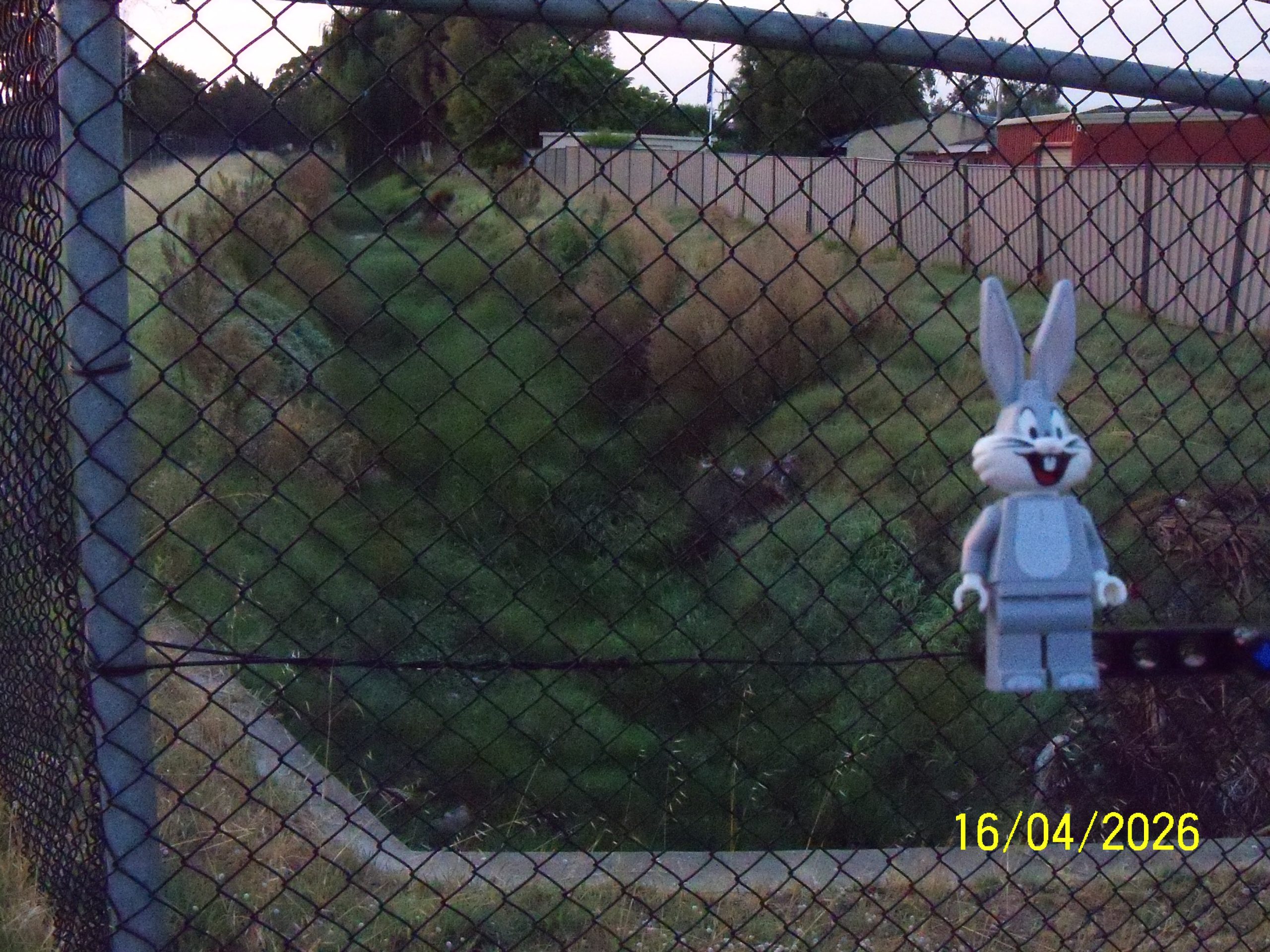
The south eastern end of the far south drain where it disappears into piping, looking south in Wallsend Street Reserve.
Below is looking north back towards Rae Road.

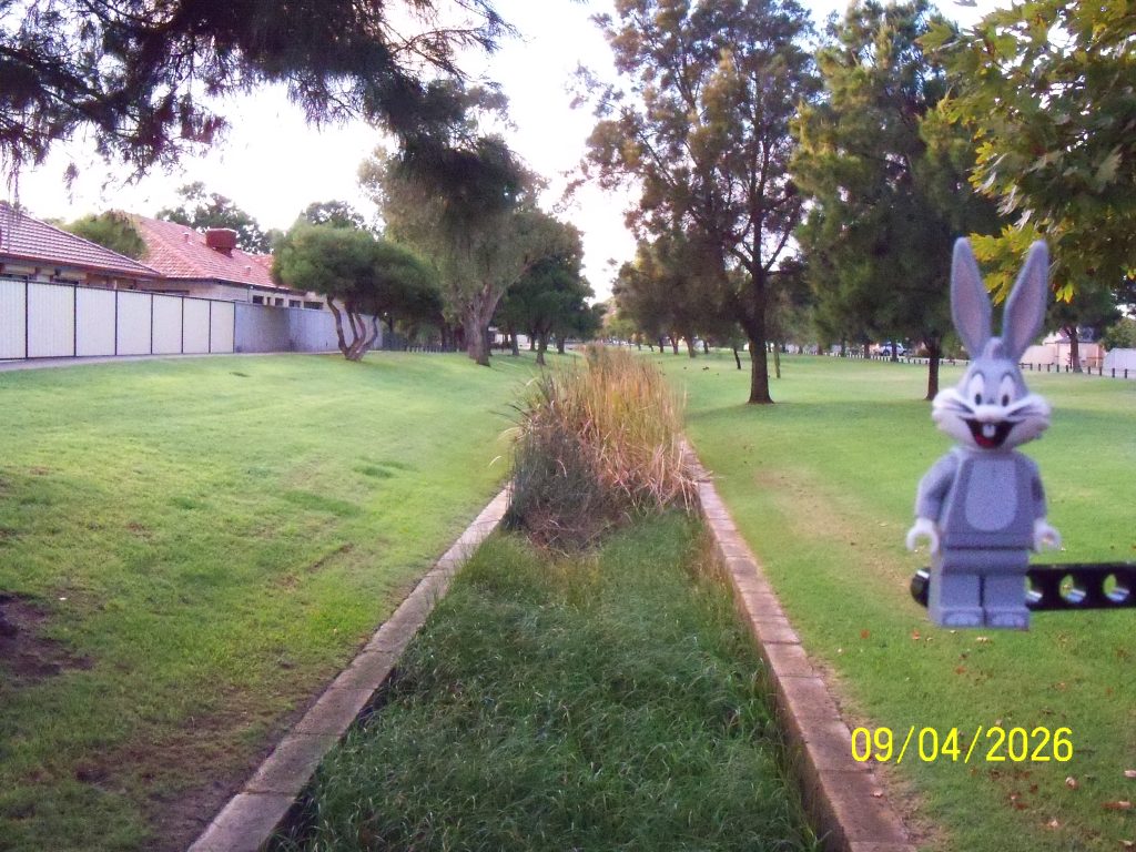
What's up doc? A daily photograph of Bugs Bunny!
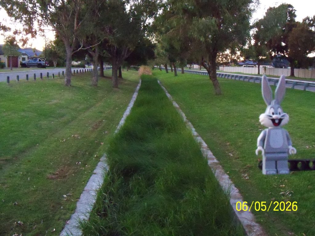
The south eastern end of the far south drain where it disappears into piping, looking south in Wallsend Street Reserve.
Below is looking north back towards Rae Road.
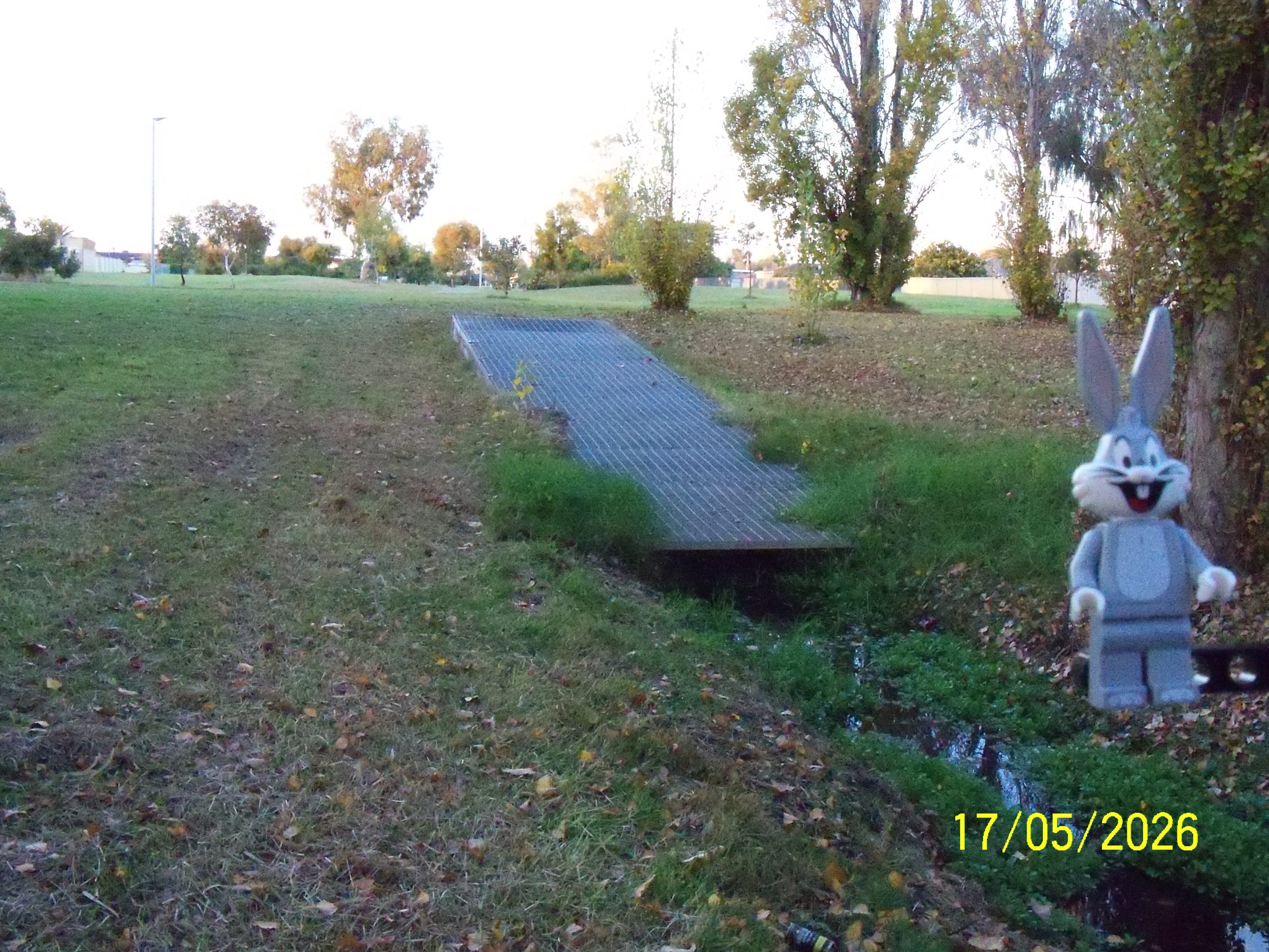
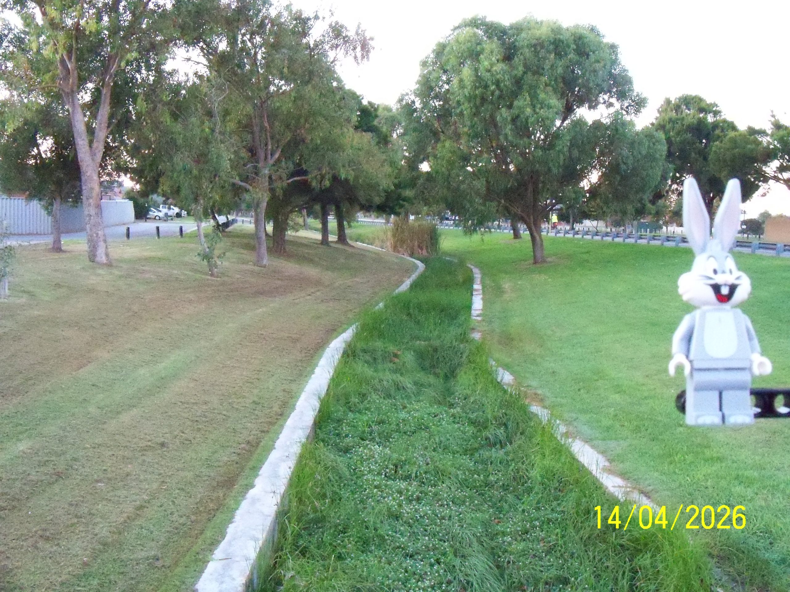
The far south drain from a bridge at the end of Terranova Way.
Above is looking north west with Garden Island Highway and The Papet’s Reserve [29Apr26] on the left and Valheru Avenue on the right.
Below is looking south east.
Far south drain at the Garden Island Highway and Rae Road intersection.
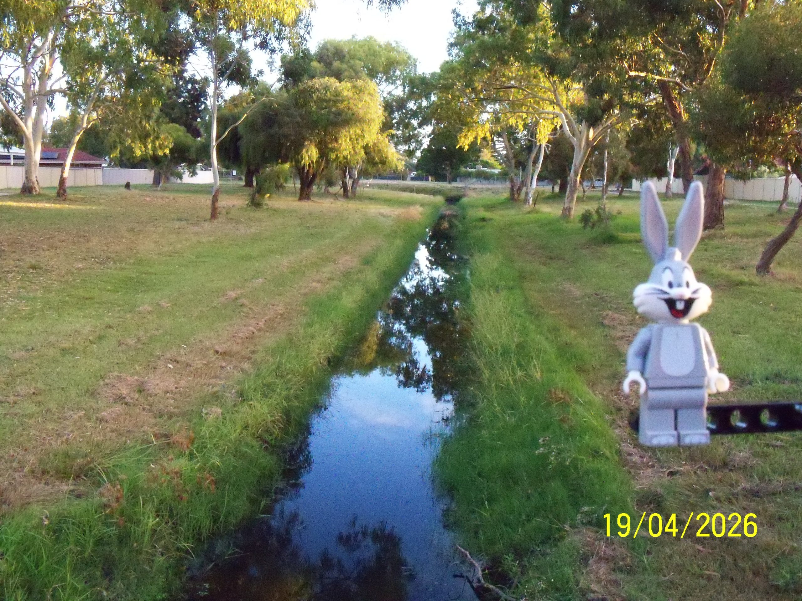
Above is the drain looking north west, north of Garden Island Highway. This is where the photograph on 16Apr26 looks across to.
Below is the early morning sky looking east.
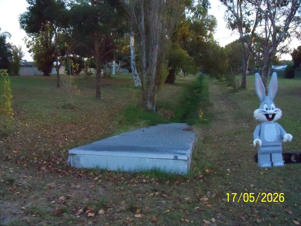
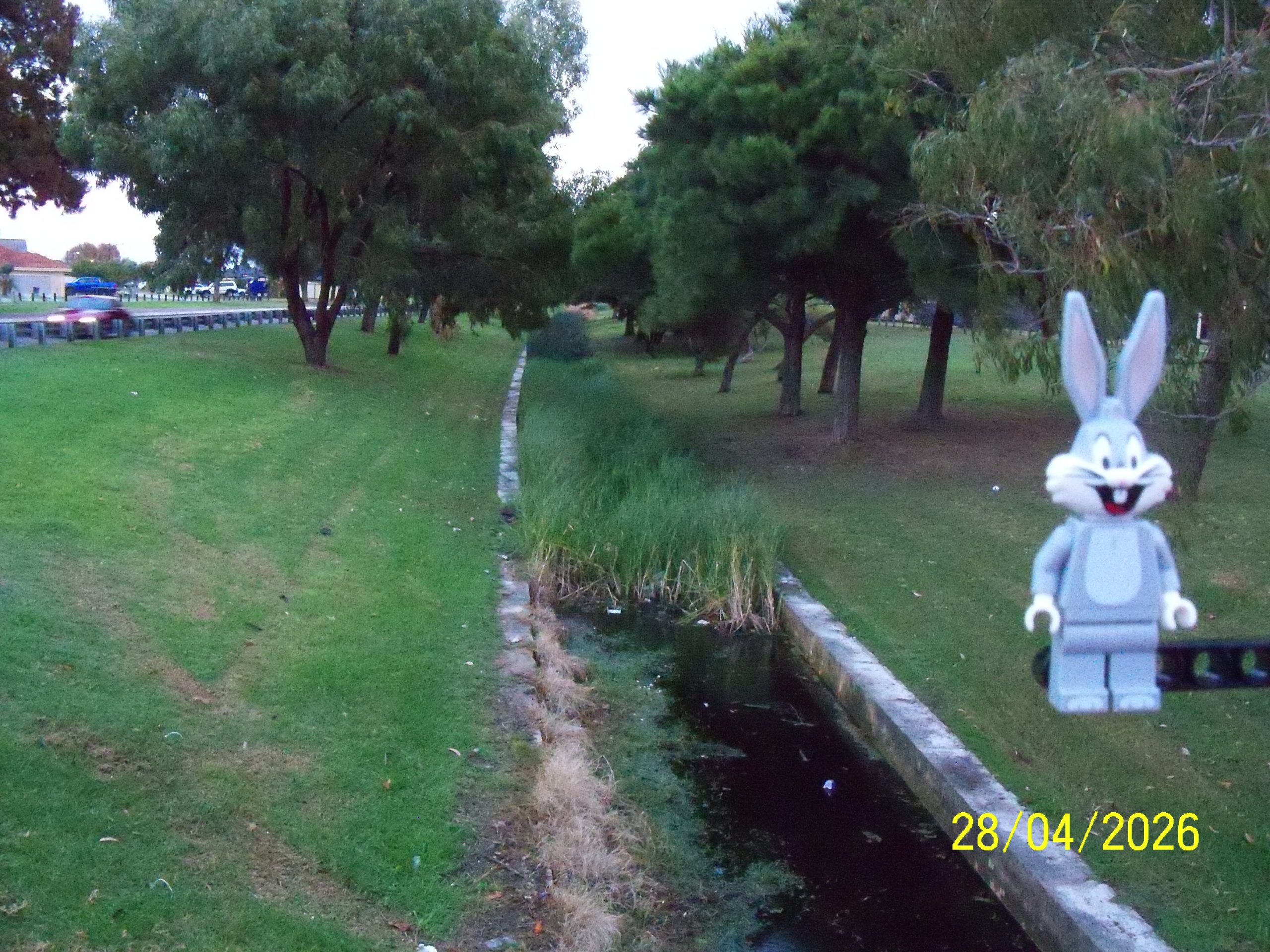
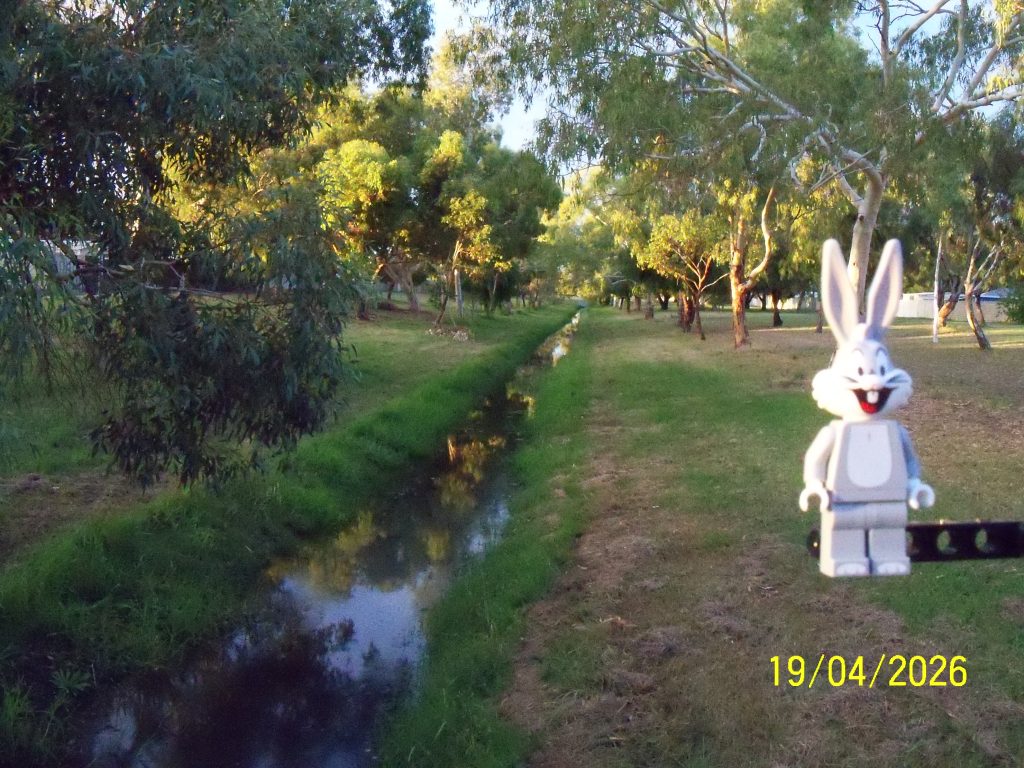
Far south drain, as it heads south from Rae Road (which runs east / west).
Above is looking north back towards Rae Road from a bridge across the drain in Wallsend Street Reserve. Top left is the drain cornering heading west back towards the Garden Island Highway and Rae Road intersection [16Apr26].
Below is looking south down Wallsend Street Reserve.
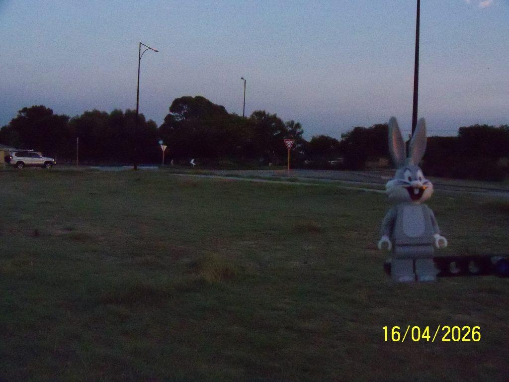
Far south drain at the Garden Island Highway and Rae Road intersection.
Above is the drain looking east, south of Rae Road. The section along Rae Road is the only section that is fenced off.
Below is looking north west across the intersection to the other end of where it goes under the intersection, a good 50m away.
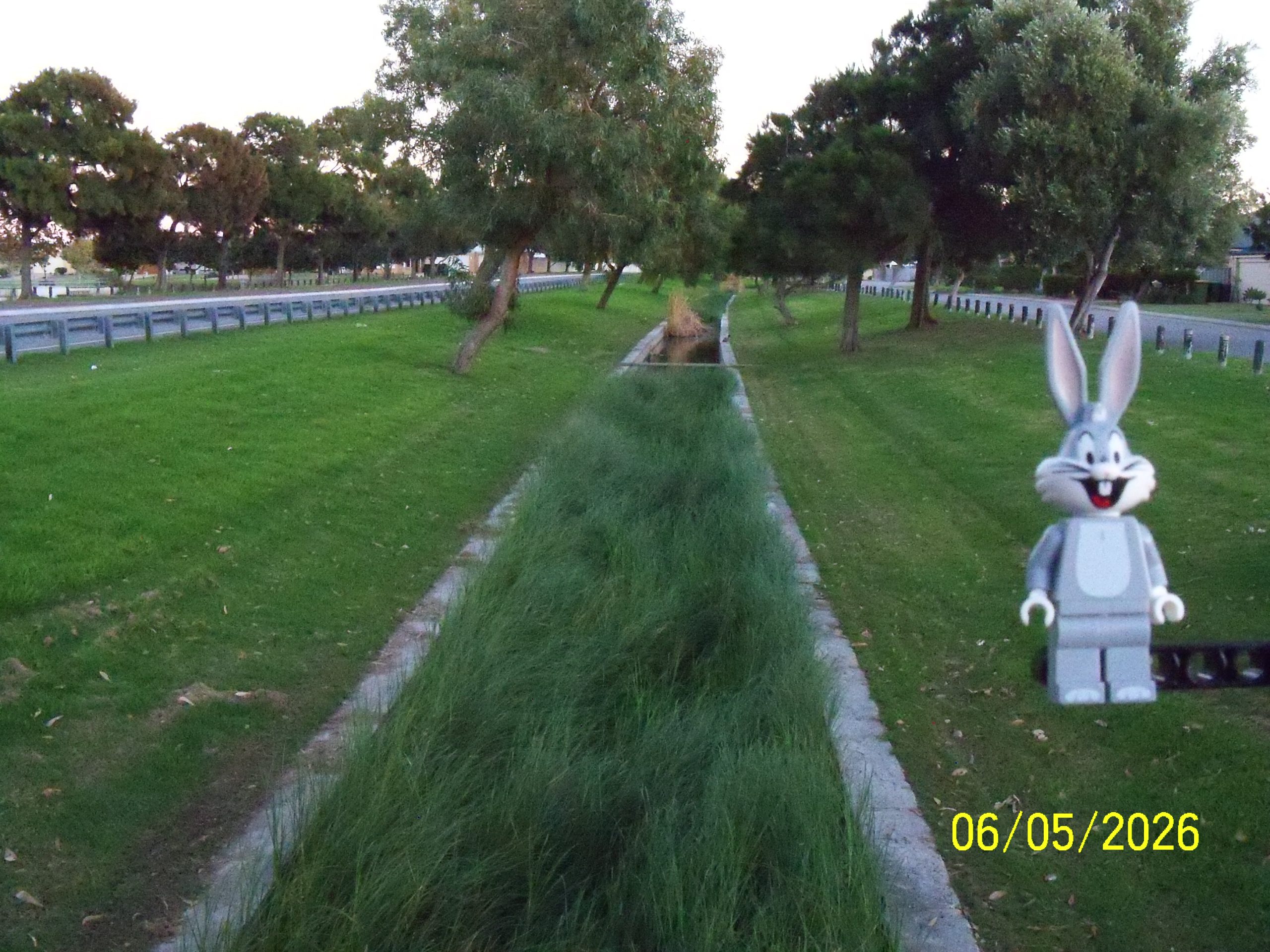
This is the far south drain from the east side of Belgravia Terrace, looking east. The view looking west was on 24Mar26.

Far south drain from a bridge at the end of Epsilon Drive heading across to Apex Reserve; above looking west back towards the corner from yesterday [08Apr26], below looking east towards Belgravia Terrace [24Mar26].

The far south drain is next to be explored. Above is where it bends from north / south, to the right is Impulse Lane Park [12Mar26] and then north to where it joins the south drain [14Feb26], and to the left where it heads east [24Mar26].
Below is from the north looking south to the corner (showing where it might have been originally planned to head further south), bottom is looking south on the east / west section.


Did you notice the date error? 🙄 When the camera was turned on it had lost the date for the first time this year, and it was discovered that the camera is that old that it won’t select beyond 2025 in the menu although it has been displaying 2026!
Tomorrow onwards is fine as luckily it allows the date and month to be reset after it has been tricked into being set for 31Dec25 just before midnight then rolling into 2026, which was able to be done once home.

The far south drain looking west from Belgravia Terrace. Apache Reserve [28Feb26] is on the right.

Impulse Lane Park. A small park set into the Lake Richmond bush behind some housing units.
The drain that the bridge is crossing is the drain below that leads into the south drain to Lake Richmond.