Lake Richmond, looking south east from the park off Lake street. Hopeful looking clouds that didn’t bring any more than a few small drops.

More depth of field issues 🙄

What's up doc? A daily photograph of Bugs Bunny!
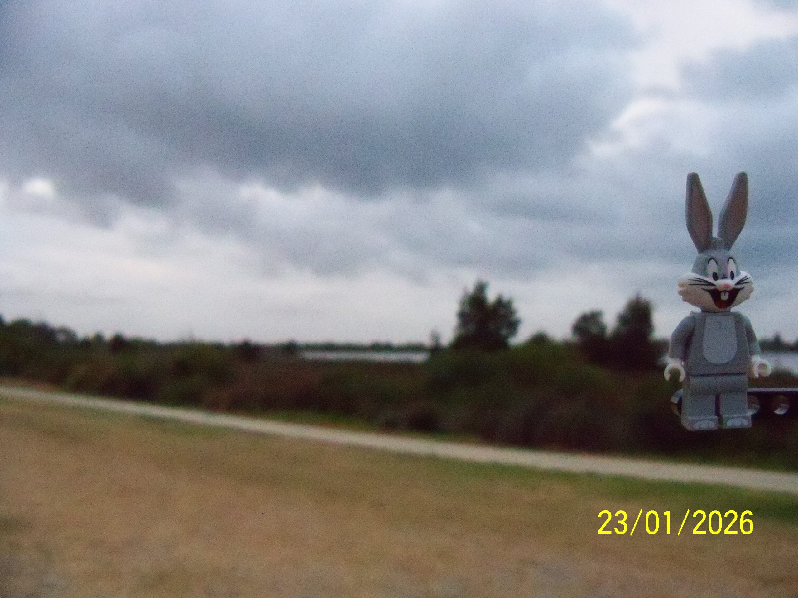
Lake Richmond, looking south east from the park off Lake street. Hopeful looking clouds that didn’t bring any more than a few small drops.
More depth of field issues 🙄
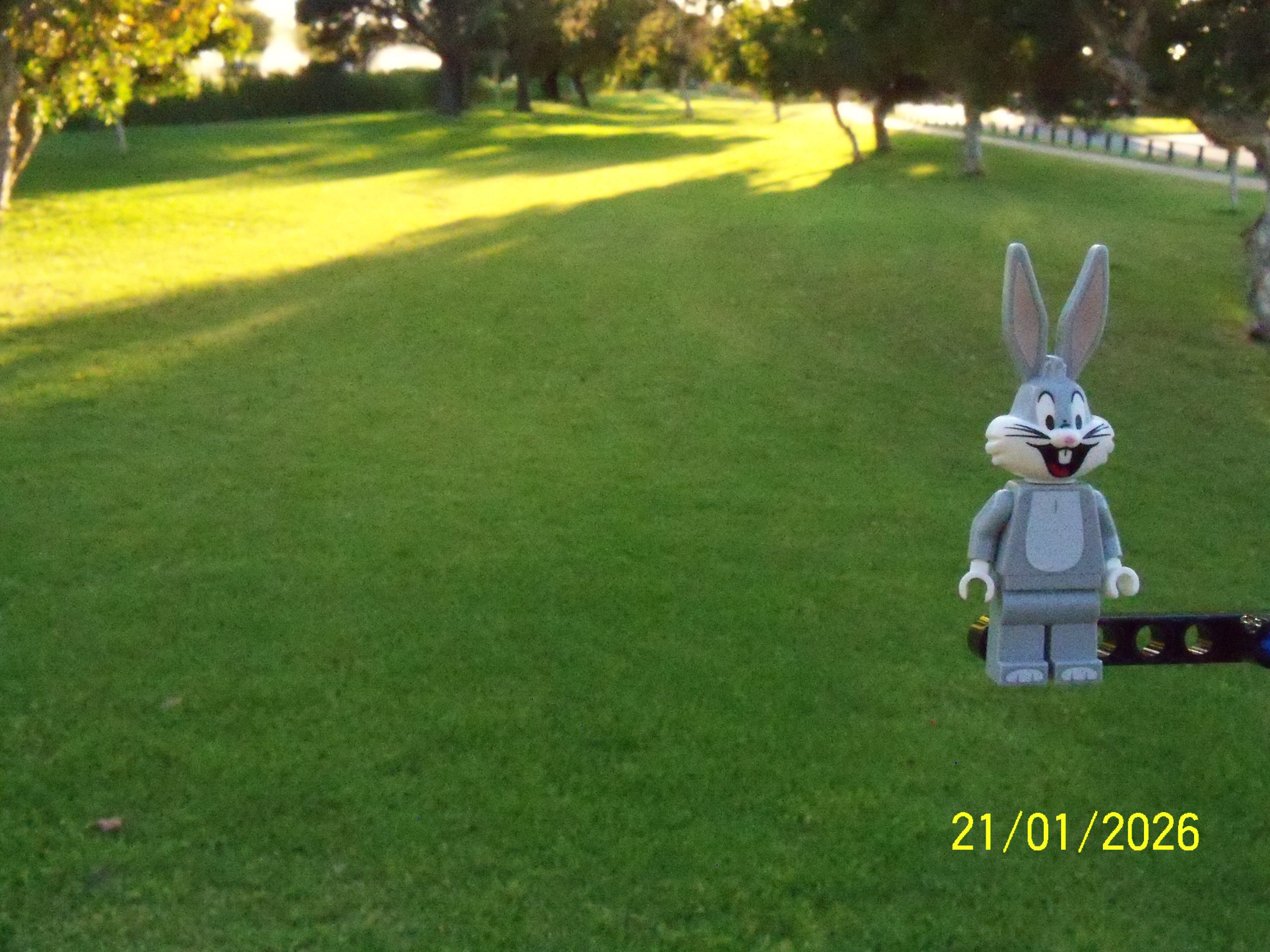
The last of the parks that become lakes with strong winter rains that we will track. This is the corner of Fisher Street and Properjohn Drive.
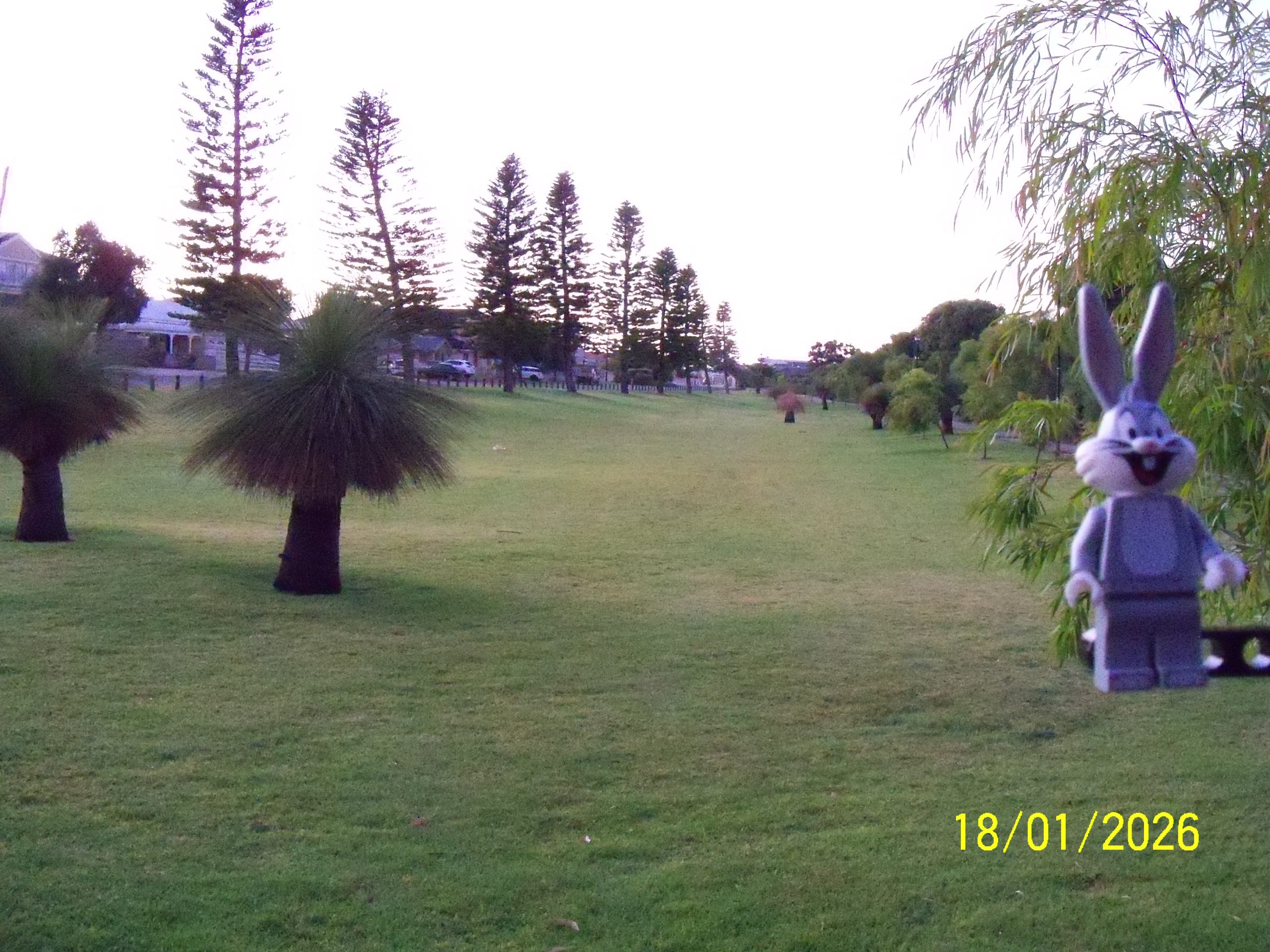
A park along Fisher Street near Seawind Drive that becomes a lake during winter rain.

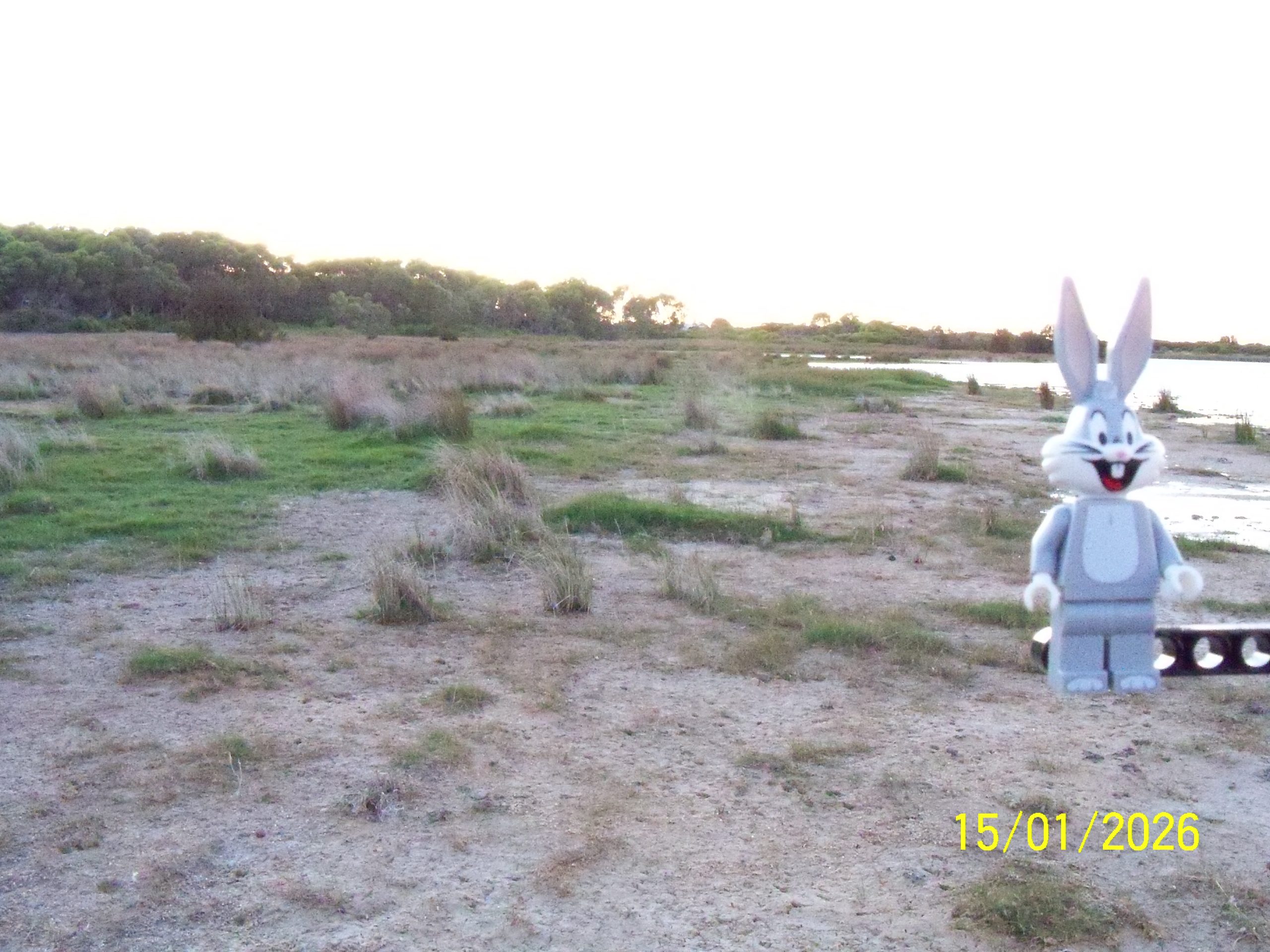
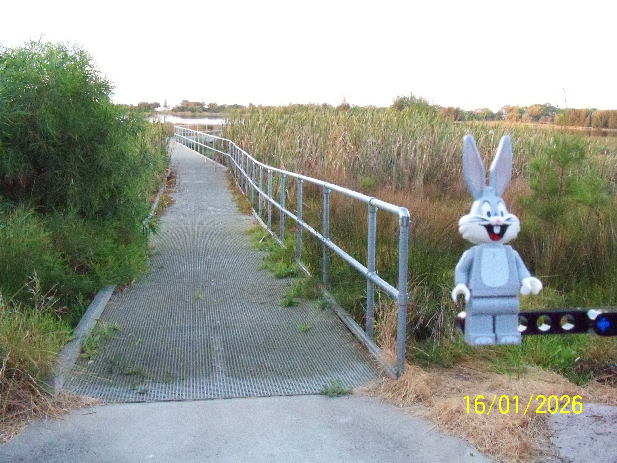
These photos are from the end of the boardwalk, the above looking east.
This is looking south west.

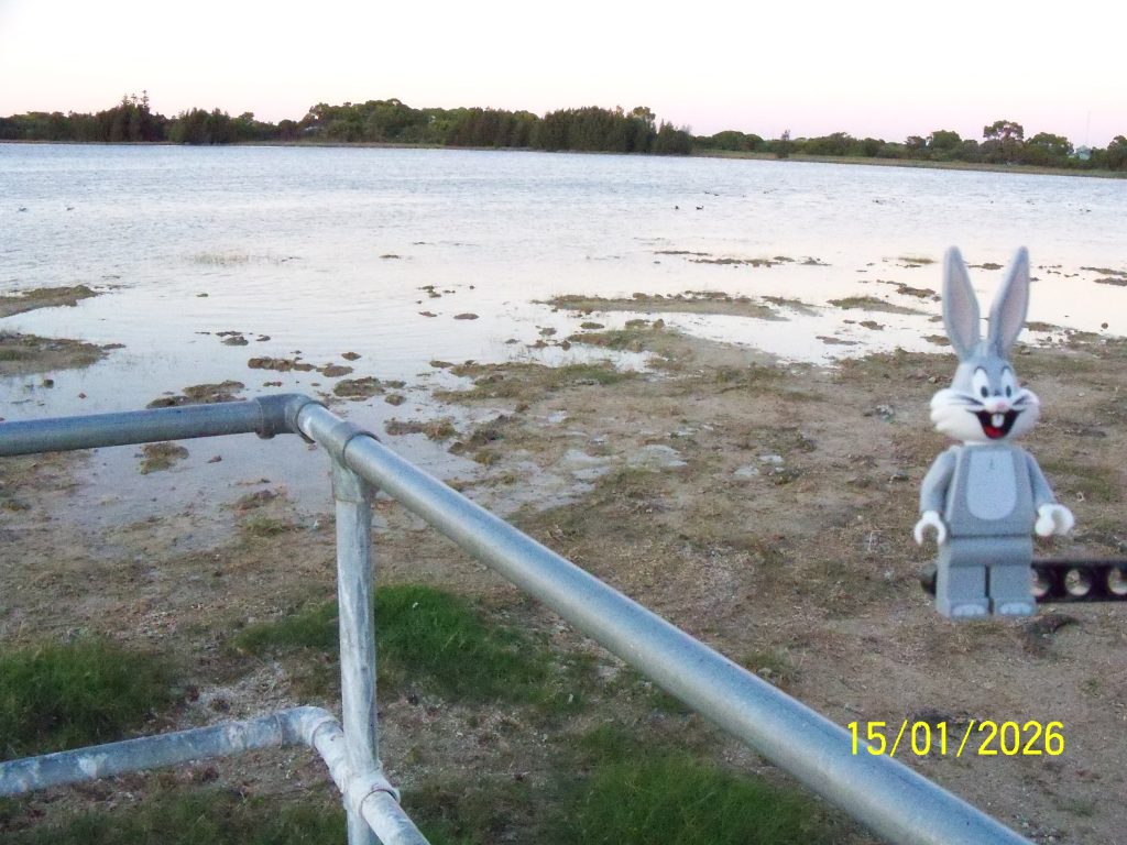
This is looking north east back towards the shore. The platform and walkway are underwater with a wet season.
It’s mid-summer and Lake Richmond water levels are down, so Bugs thought we should spend a few days showing the low level so the increases after winter rains can be appreciated.
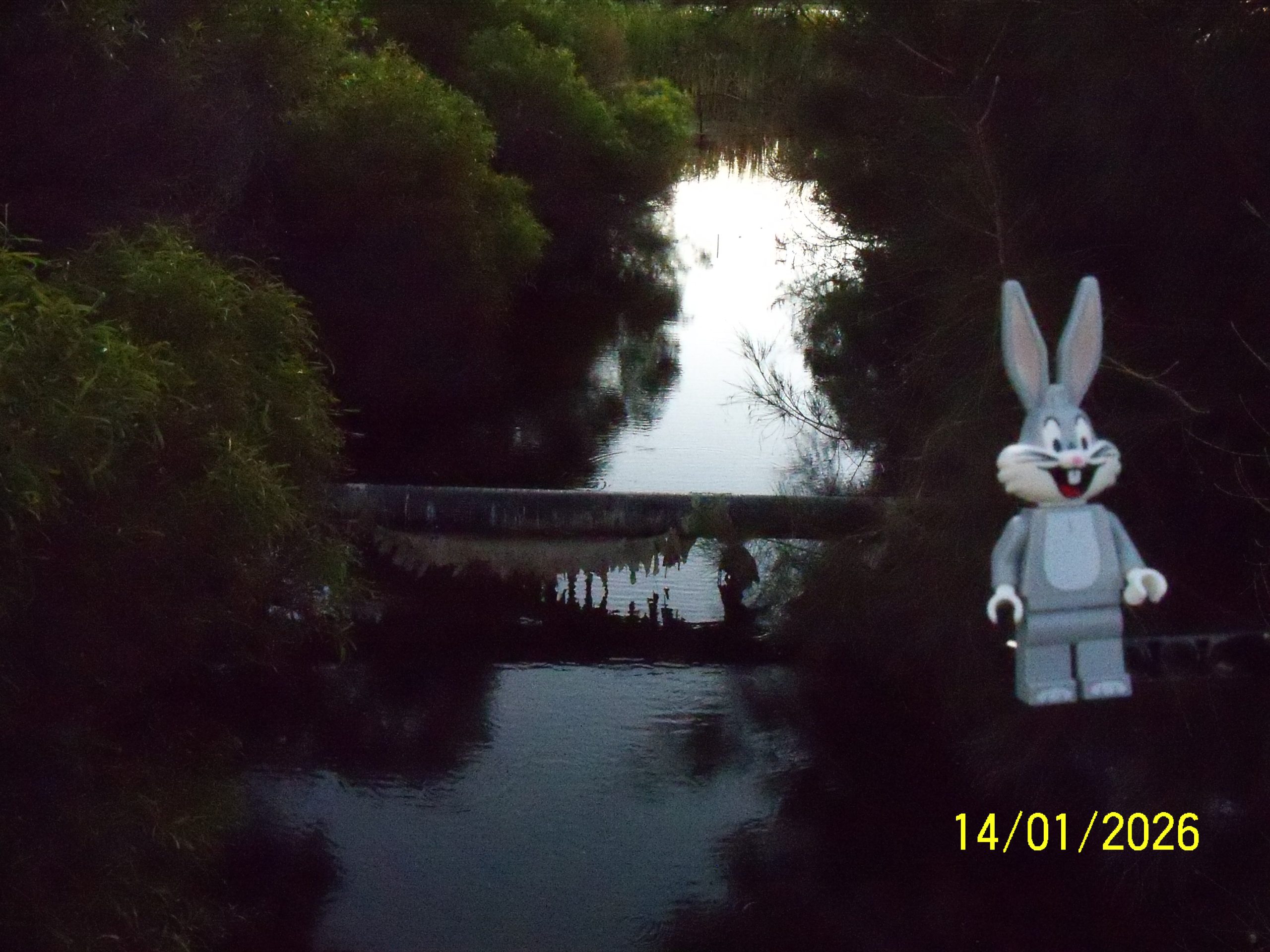
This is the drain leaving the lake at the north western corner heading off towards Point Peron just before it goes it goes under Safety Bay Road, the pipe that crosses is a great level indicator.
There has been no rain recorded at the nearby Garden Island BOM site since November 2025.
BOM = Australian Government Bureau of Meteorology. The Garden Island observation station is https://www.bom.gov.au/climate/dwo/IDCJDW6046.latest.shtml
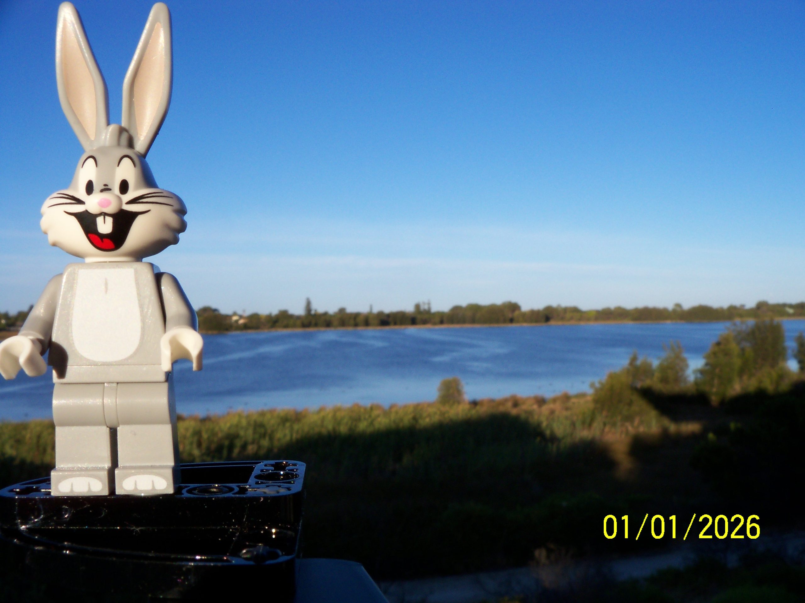
Welcome to the New Year!
We’re underway, posts are set to appear daily going forward!
This is Lake Richmond, from the lookout looking west. Bugs’ morning walk is along or around Lake Richmond, so it will feature regularly.