
The western end of western section of Apex Reserve, looking east.


What's up doc? A daily photograph of Bugs Bunny!

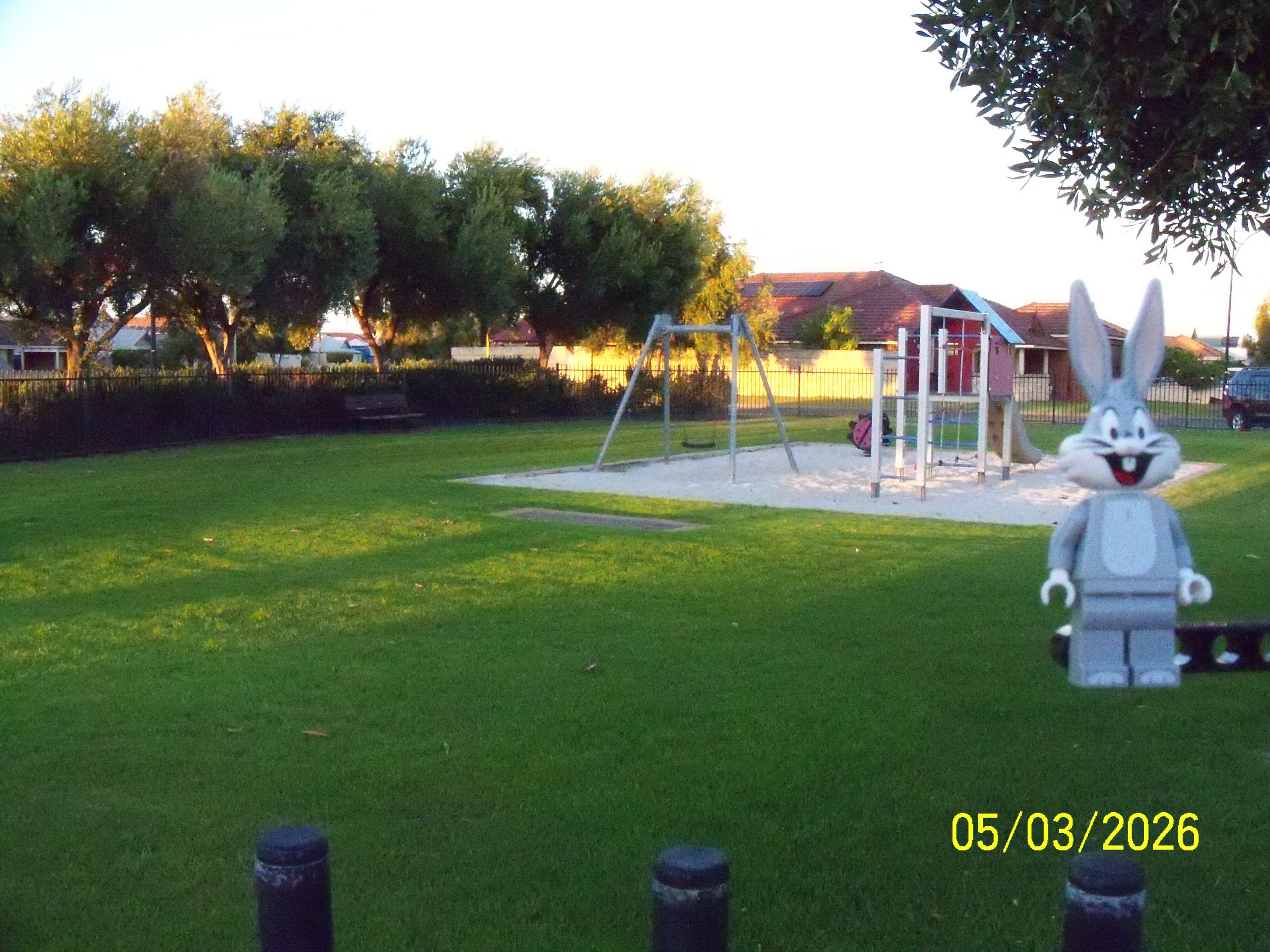
Impulse Lane Park. A small park set into the Lake Richmond bush behind some housing units.
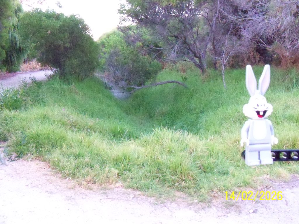
The drain that the bridge is crossing is the drain below that leads into the south drain to Lake Richmond.

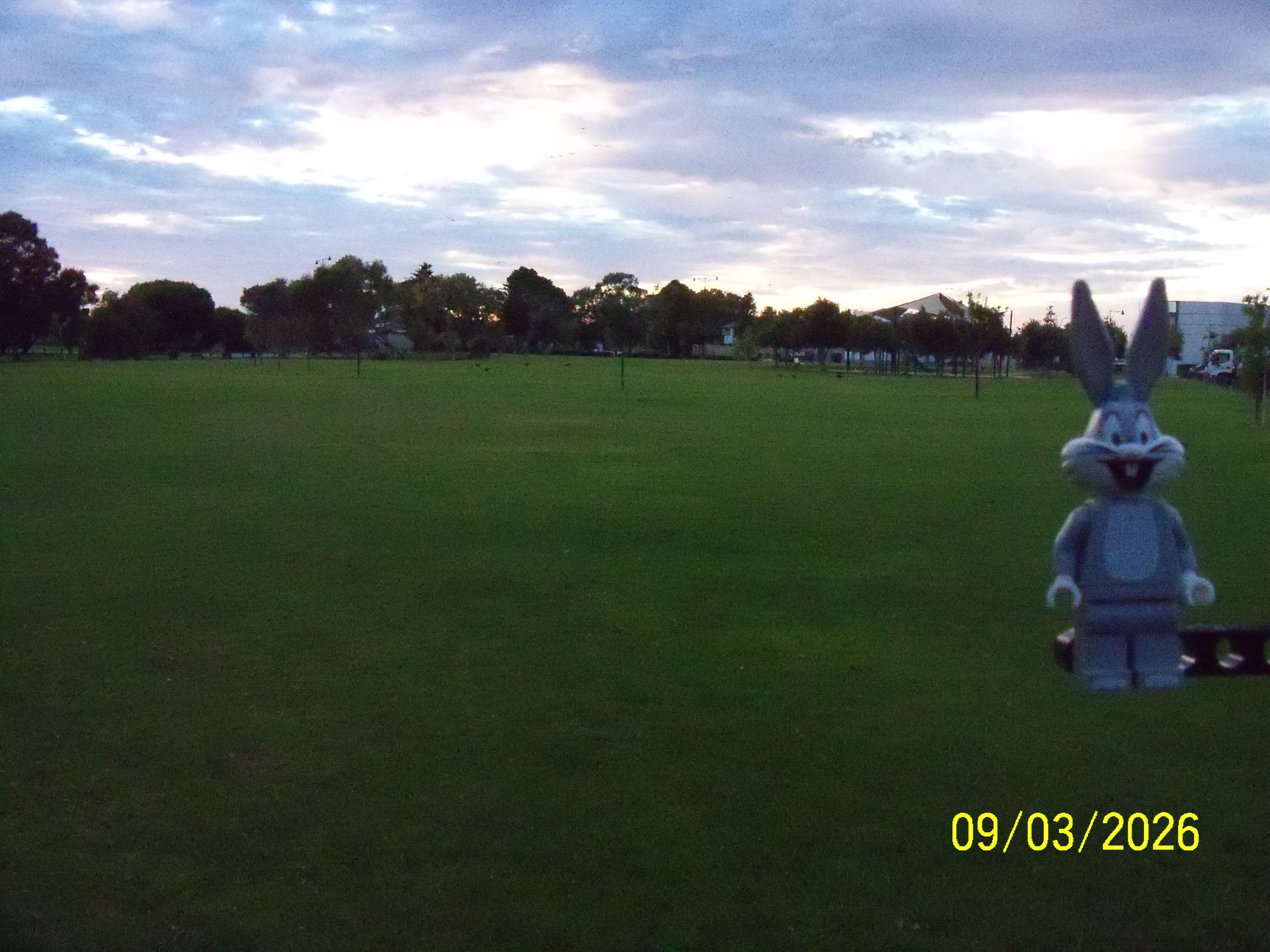
Liechardt Loop Reserve, looking south. We’re not sure we’ve ever visted this park before although we’ve driven just north of it along Townsend Road. A small area that is likely to collect run off in winter, we’ll be back after rain to check.
Bismark Reserve southern section, from the west looking east with the Anchorage Village shops top right. The treeline at the top / left marks the southern drain into Lake Richmond, with below showing the drain looking west after it goes under a foot bridge. The drain extends above ground (under roads) east until the Read Street / Rockingham City Shopping Centre, which we might track in the future.

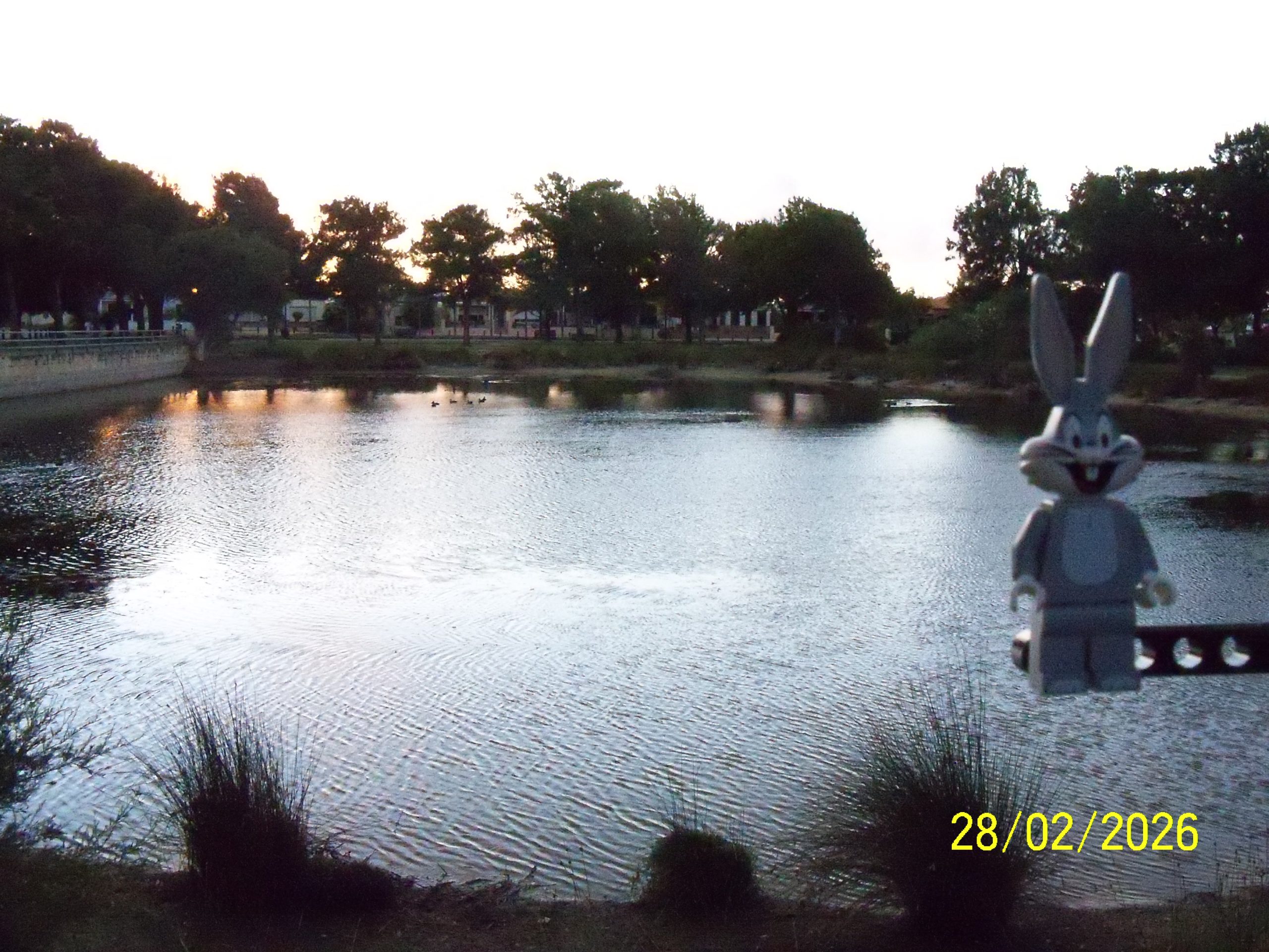
Bismark Reserve northern section, from the east looking west. The treeline at the top / left marks the southern drain into Lake Richmond. This section also becomes a lake with decent winter rains.
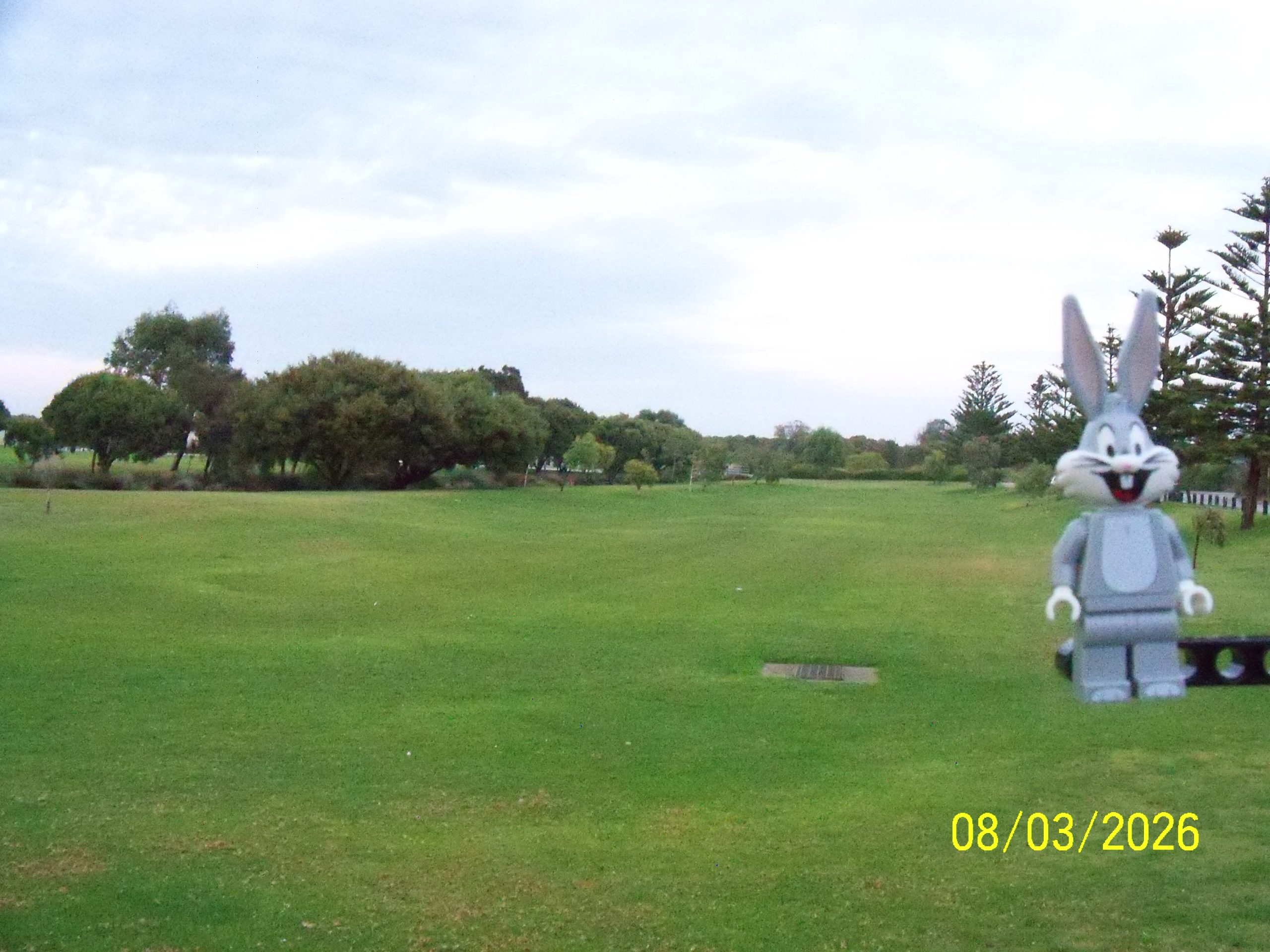
The eastern end of western section of Apex Reserve, looking west. While the eastern section is lake dominated, this section is a treed, grassed area.
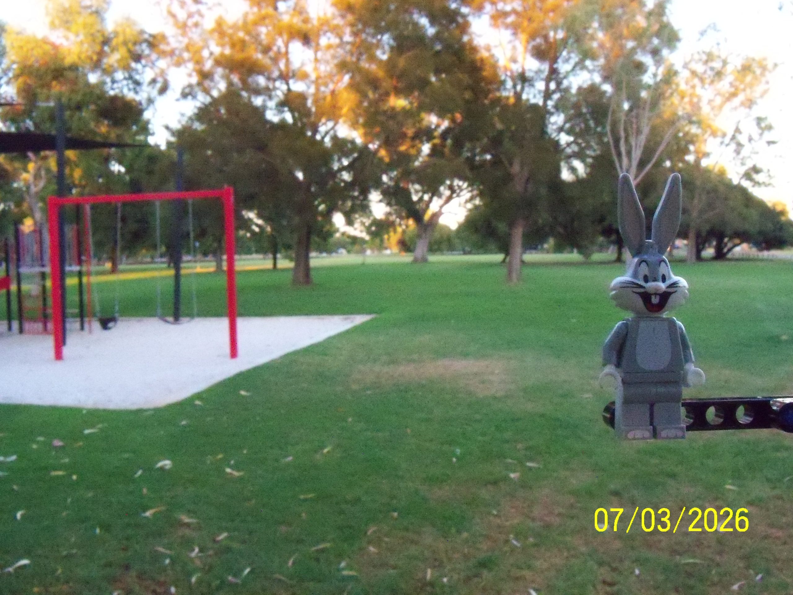
This is the Fisher Street Reserve (corner Townsend Road), looking west.
We walked here to take this photograph yesterday but then walked on without taking the photograph until it wasn’t worth returning 🙄
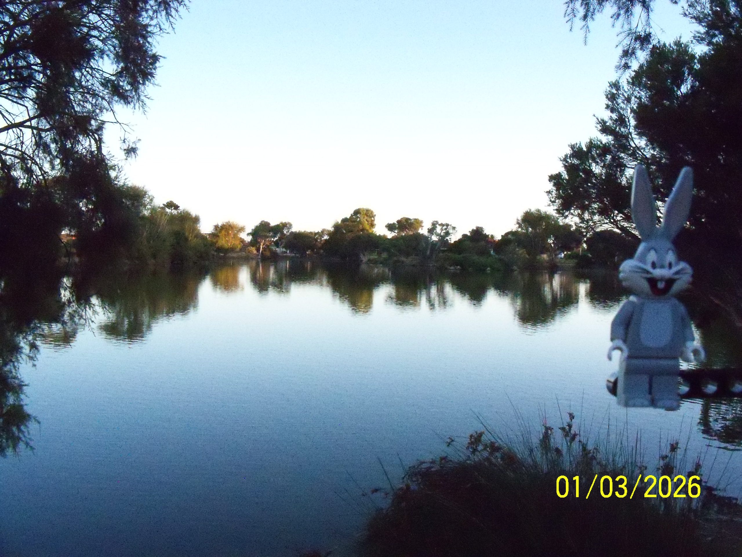
Hawker Street Reserve, this is one of the larger lakes in the area, looking north.
A smaller lake, Apache Reserve, looking east.
That’s two months of daily photographs!!
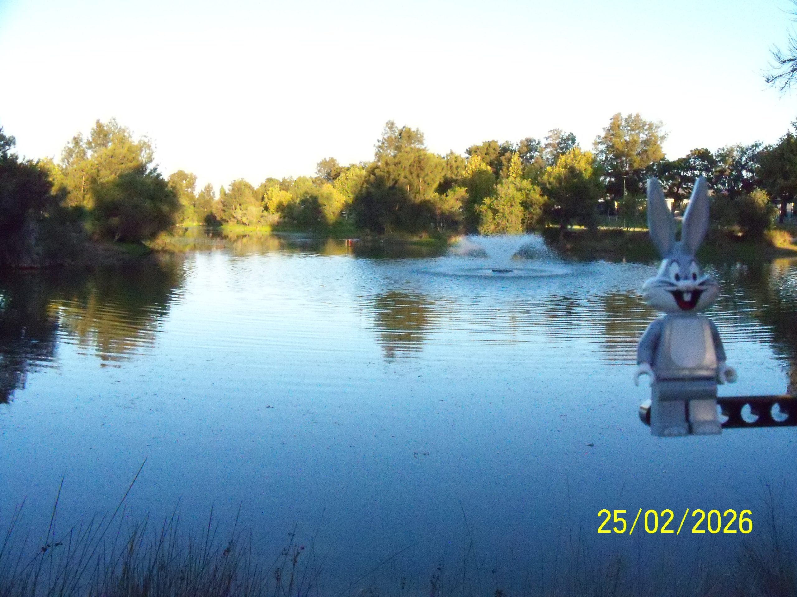
The eastern end of the eastern section of Apex Reserve, looking west across the lake.