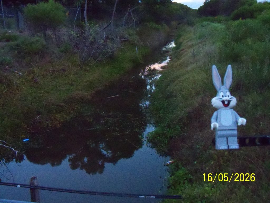
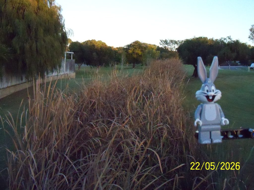
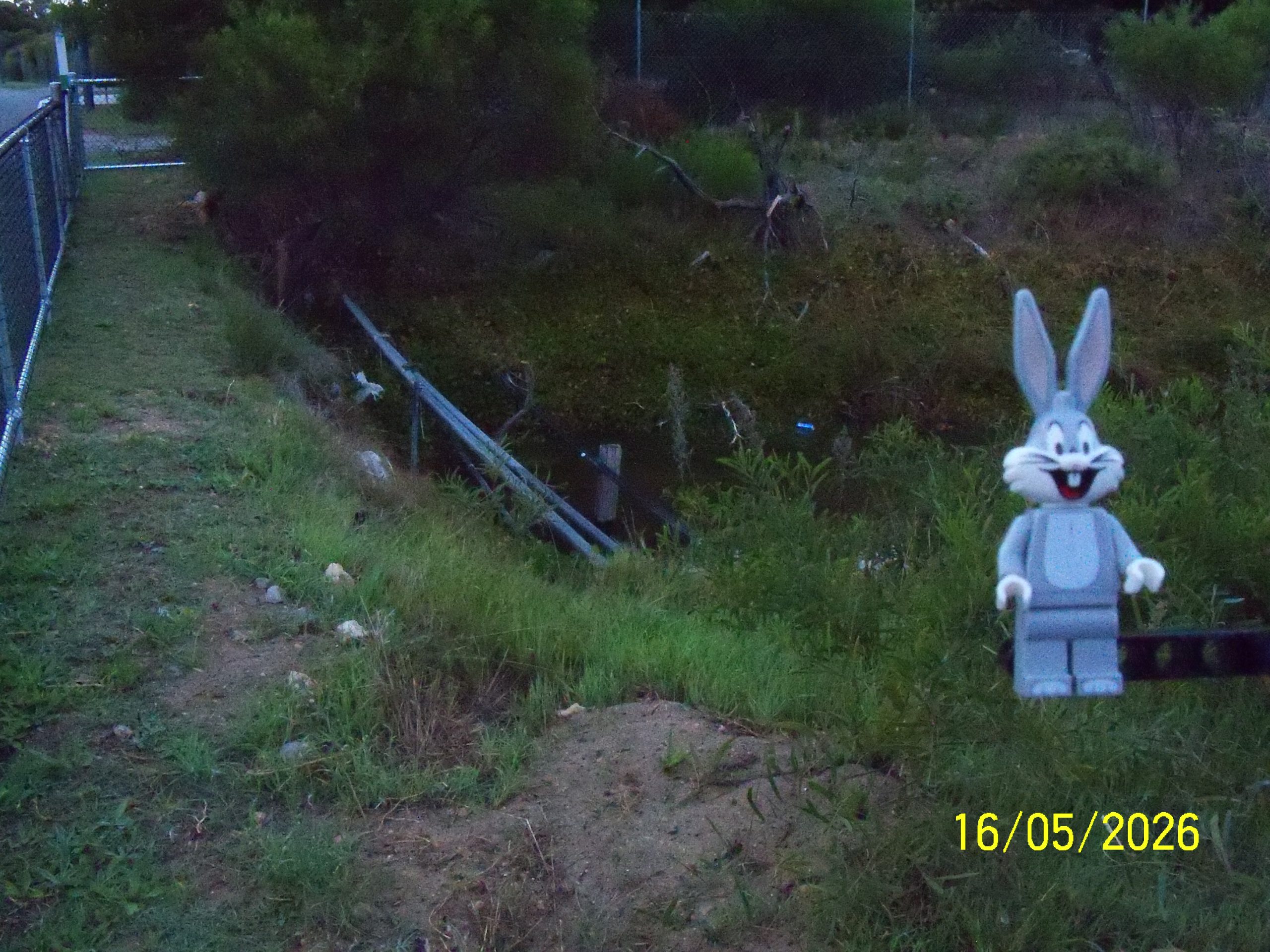
The north drain east of Bay View Street looking west, below looking east. The drain in this area to Ritchie Drive to the east is allowed to widen.
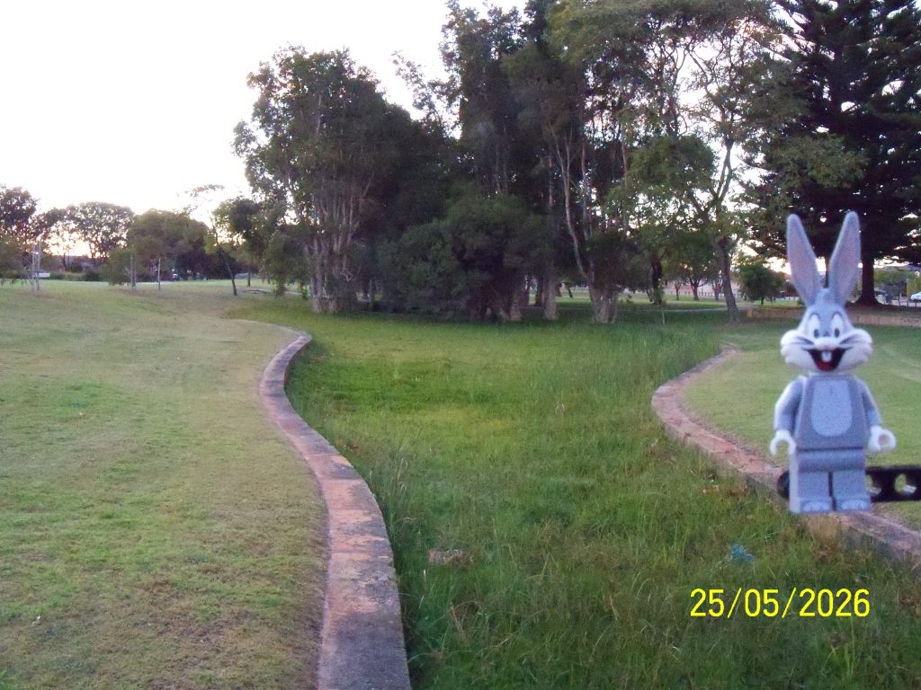

What's up doc? A daily photograph of Bugs Bunny!
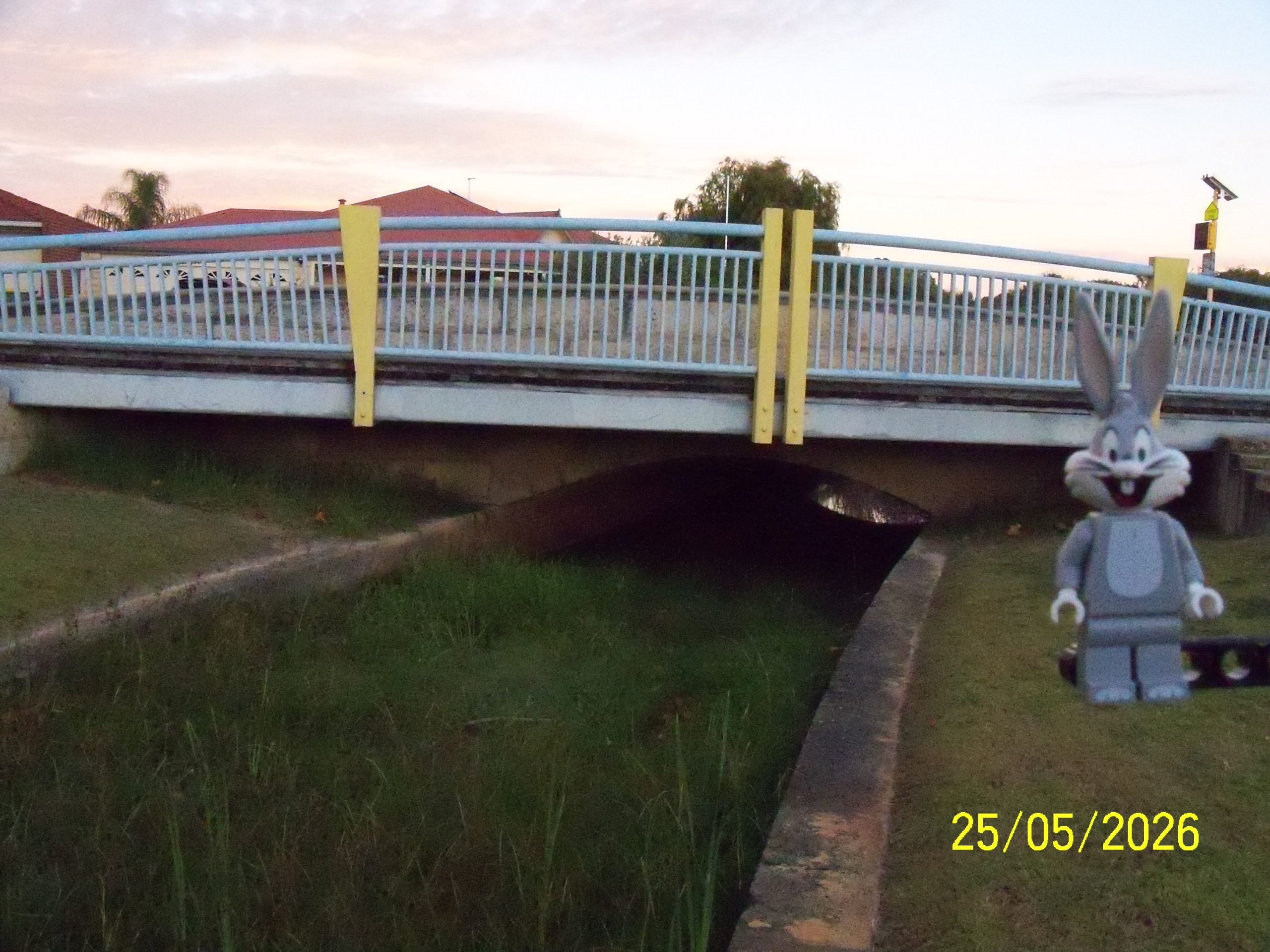
The north drain east of Bay View Street looking west, below looking east. The drain in this area to Ritchie Drive to the east is allowed to widen.
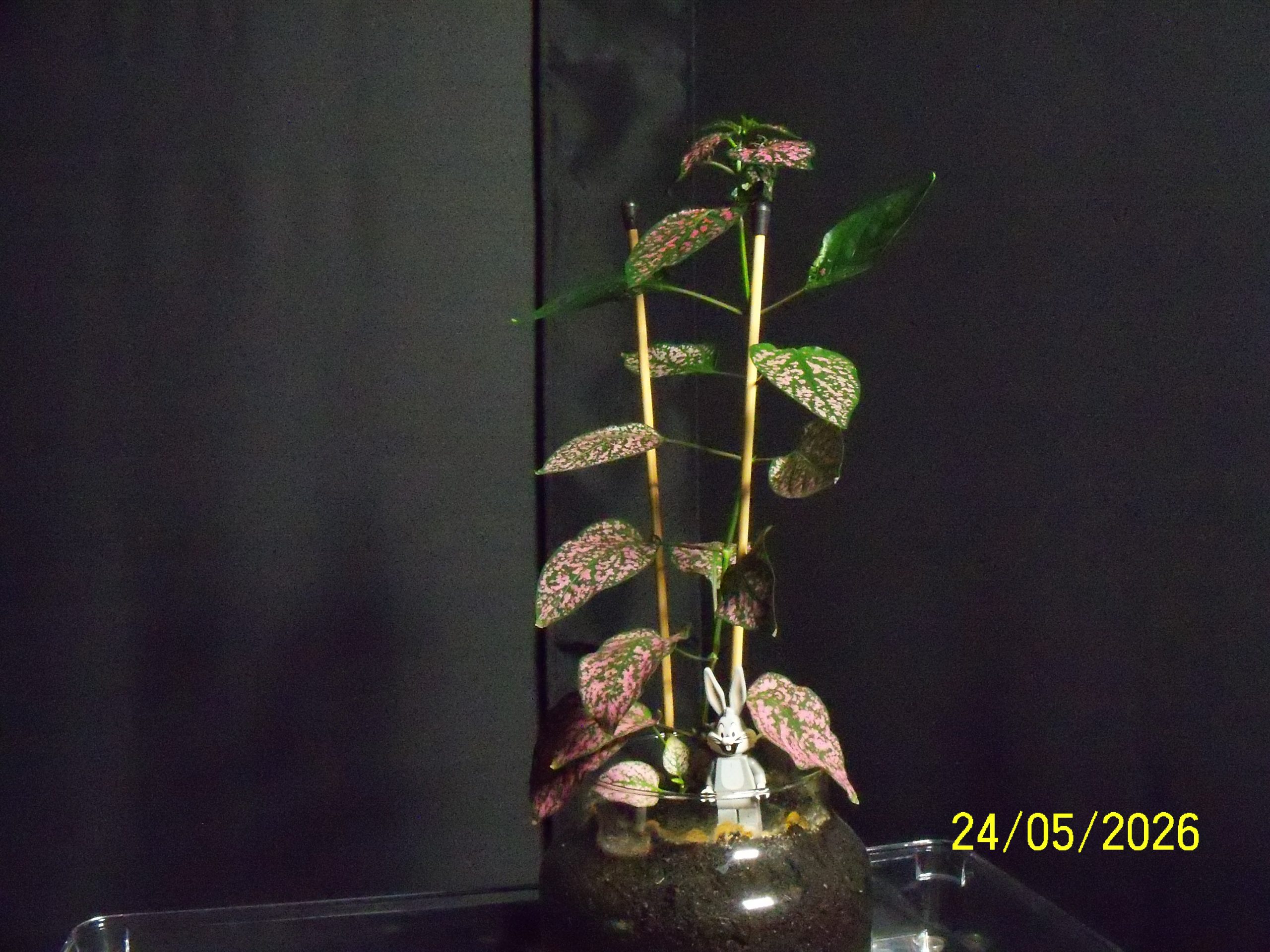
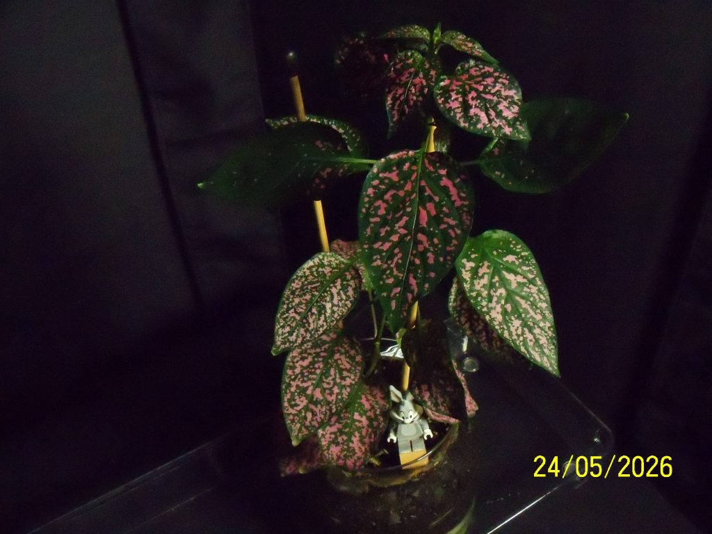
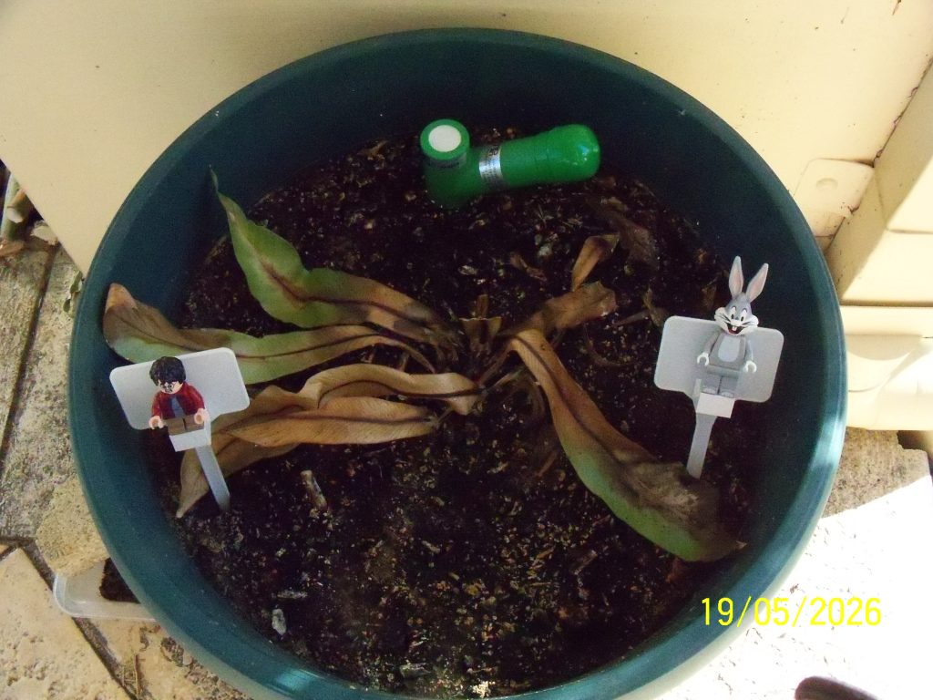
An update on the Hypoestes phyllostachya which is going great under the LED grow lights. At the bottom is the photograph from 25Mar26.


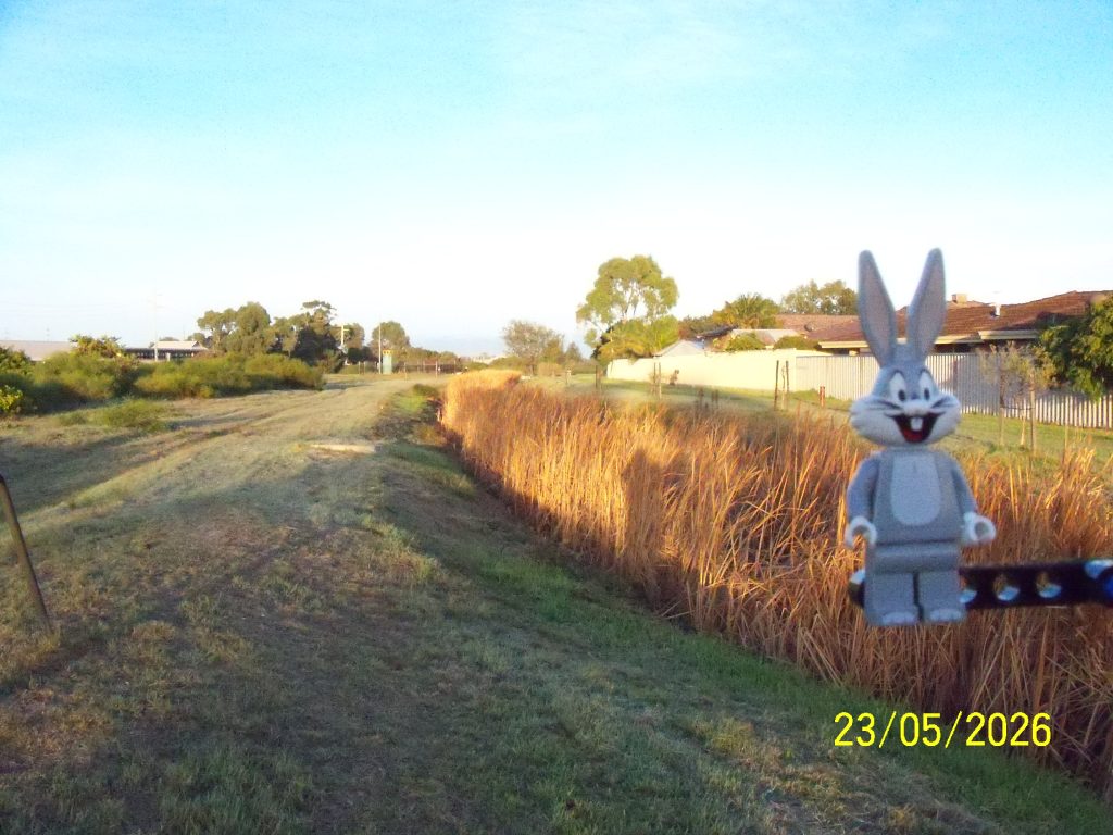
The eastern end of the north drain where it disappears into piping, looking east. Below is looking west.
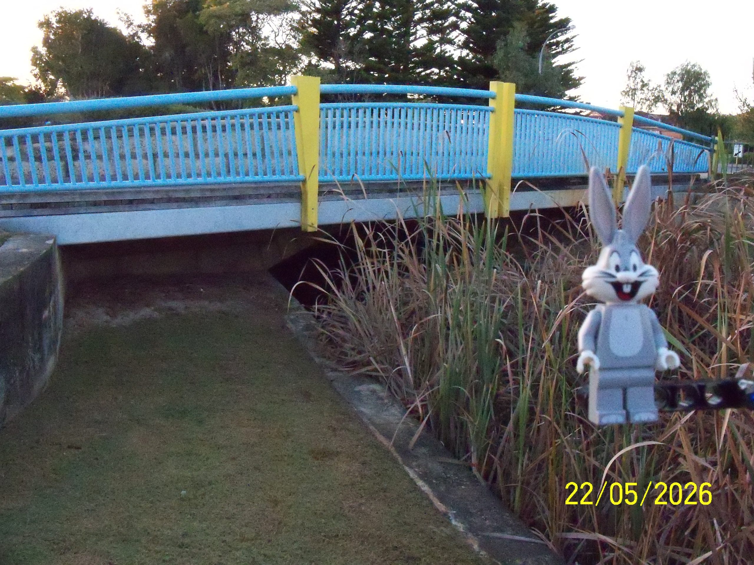
The north drain west of Bay View Street looking east, below looking west (back towards Fisher Street).
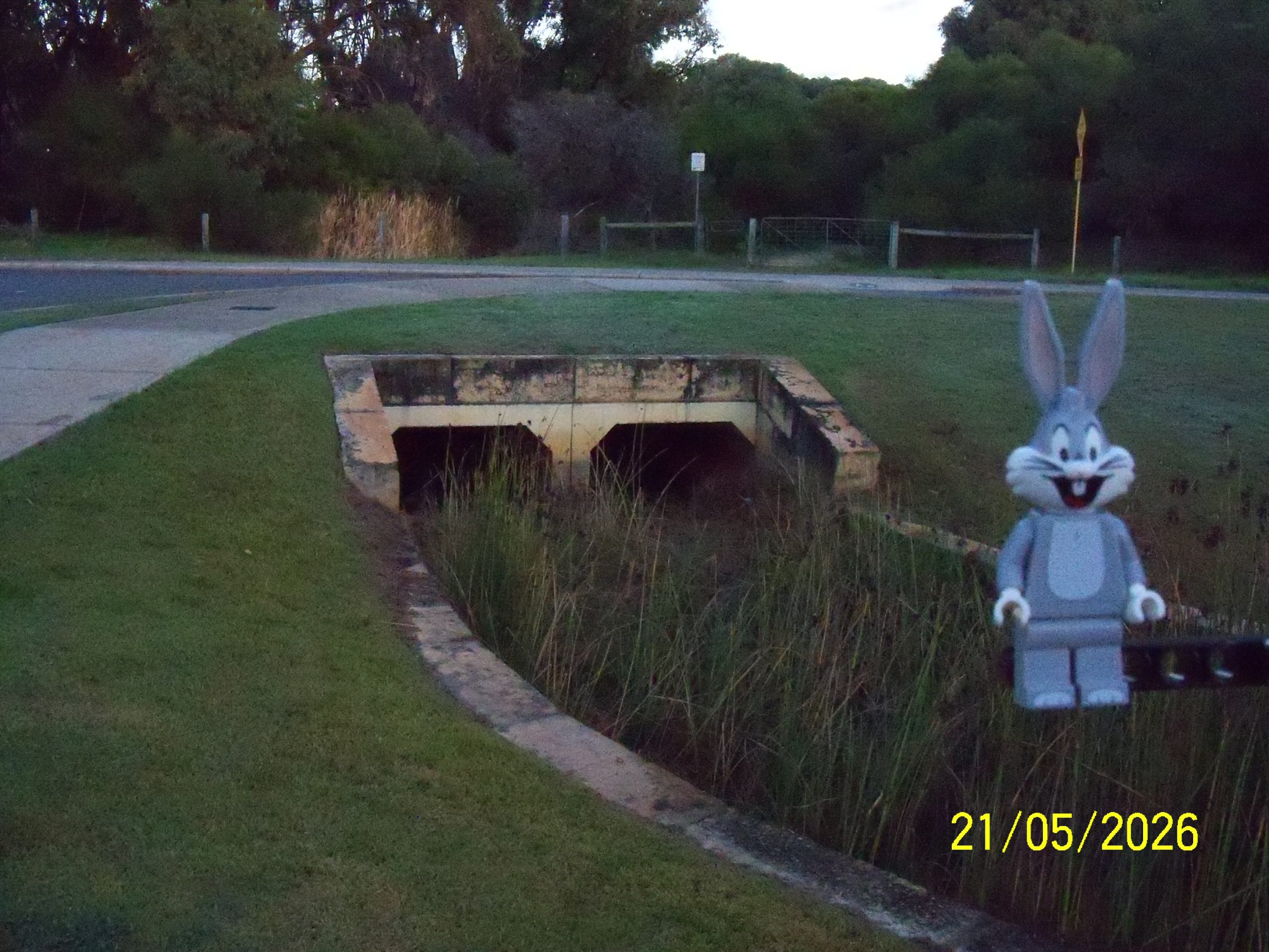
The north drain on the east side of Fisher Street, looking west. This is the park shown on 21Jan26.
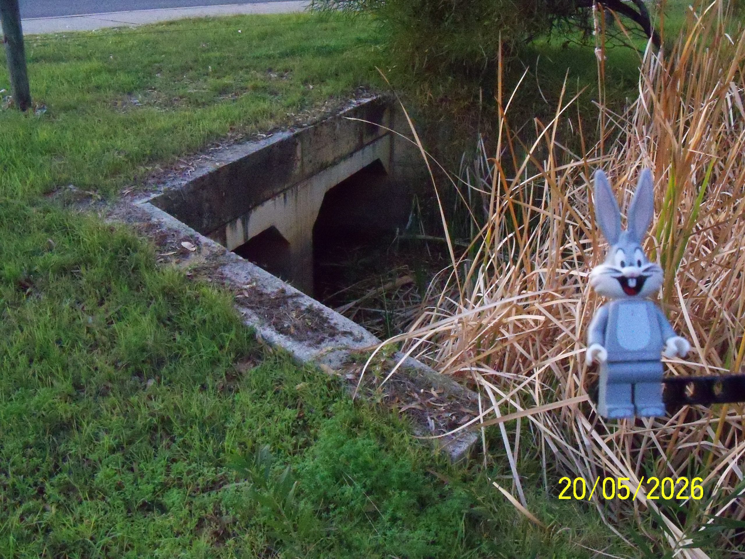
The north drain on the west side of Fisher Street. This is opposite the park shown on 21Jan26.
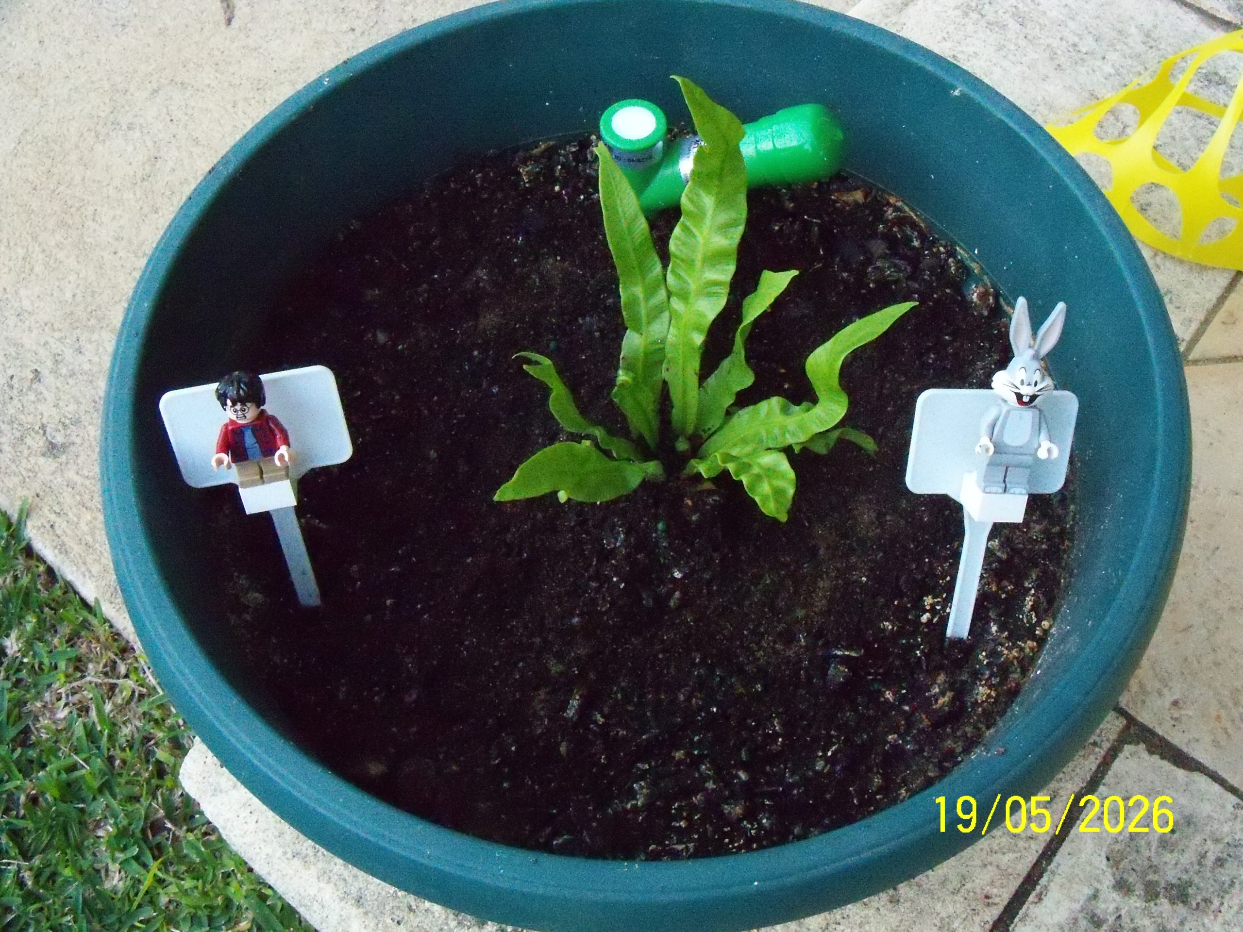
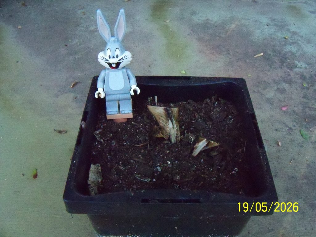
Harry’s new Birds Nest Fern!
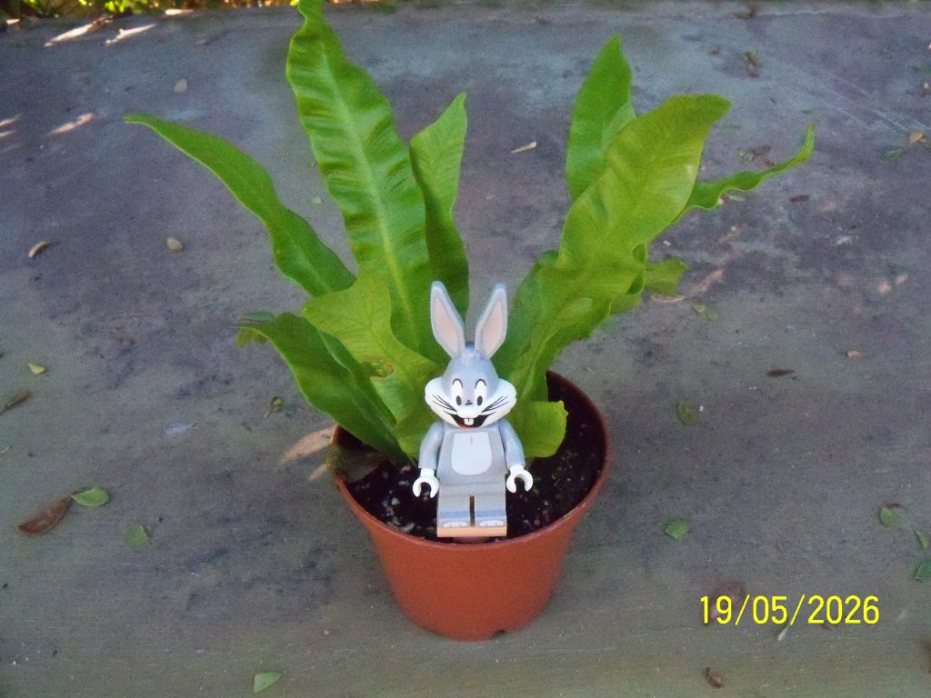
Below is before it was re-potted, and further down the previous fern before removal and that re-potted to see if it does recover (unlikely).

Latest rainfall update for the last few days.
| Date Range | Manual Period | Manual YTD | Digital Period | Digital YTD | BOM Period | BOM YTD |
|---|---|---|---|---|---|---|
| 14May to 18May | 8.1 | 143.6 | 3.9 | 99.4 | 8.2 | 157.8 |
| 02May to 13May | – | 135.5 | – | 95.5 | – | 149.6 |
| 27Apr to 01May | 12.0 | 135.5 | 7.4 | 95.5 | 18.4 | 149.6 |
| 25Apr to 26Apr | – | 123.5 | – | 88.1 | – | 131.2 |
| 20Apr to 24Apr | 5.3 | 123.5 | 2.4 | 88.1 | 5.8 | 131.2 |
| 19Apr | – | 118.2 | – | 85.7 | – | 125.4 |
| 17Apr to 18Apr | 4.0 | 118.2 | 0.8 | 85.7 | 5.0 | 125.4 |
| 16Apr | – | 114.2 | – | 84.9 | – | 120.4 |
| 15Apr | 1.0 | 114.2 | 1.8 | 84.9 | 1.6 | 120.4 |
| 10Apr to 14Apr | – | 113.2 | – | 83.1 | – | 118.8 |
| 09Apr | 0.4 | 113.2 | – | 83.1 | 1.2 | 118.8 |
| 07Apr to 08Apr | – | 112.8 | – | 83.1 | – | 117.6 |
| 06Apr | 2.7 | 112.8 | 3.8 | 83.1 | 3.0 | 117.6 |
| 31Mar to 05Apr | – | 110.1 | – | 79.3 | – | 114.6 |
| 28Mar 15:00 to 30Mar | 2.5 | 110.1 | 0.4 | 79.3 | 2.2 | 114.6 |
| 27Mar to 28Mar 15:00 | 102.0 | 107.6 | 72.7 | 78.9 | 105.2 | 112.4 |
| 27Feb to 26Mar | – | 5.6 | – | 6.2 | – | 7.2 |
| 26Feb | 4.0 | 5.6 | 4.5 | 6.2 | 3.0 | 7.2 |
| 22Feb to 25Feb | – | 1.6 | – | 1.7 | – | 4.2 |
| 20Feb to 21Feb | – | 1.6 | 0.2 | 1.7 | – | 4.2 |
| 11Feb to 19Feb | – | 1.6 | – | 1.5 | – | 4.2 |
| 10Feb | 0.1 | 1.6 | 0.4 | 1.5 | – | 4.2 |
| 27Jan to 09Feb | – | 1.5 | – | 1.1 | – | 4.2 |
| 25Jan to 26Jan | 1.5 | 1.5 | 1.1 | 1.1 | 4.2 | 4.2 |
| 01Jan to 24Jan | – | – | – | – | – | – |
| Date Range | Manual Period | Manual YTD | Digital Period | Digital YTD | BOM Period | BOM YTD |
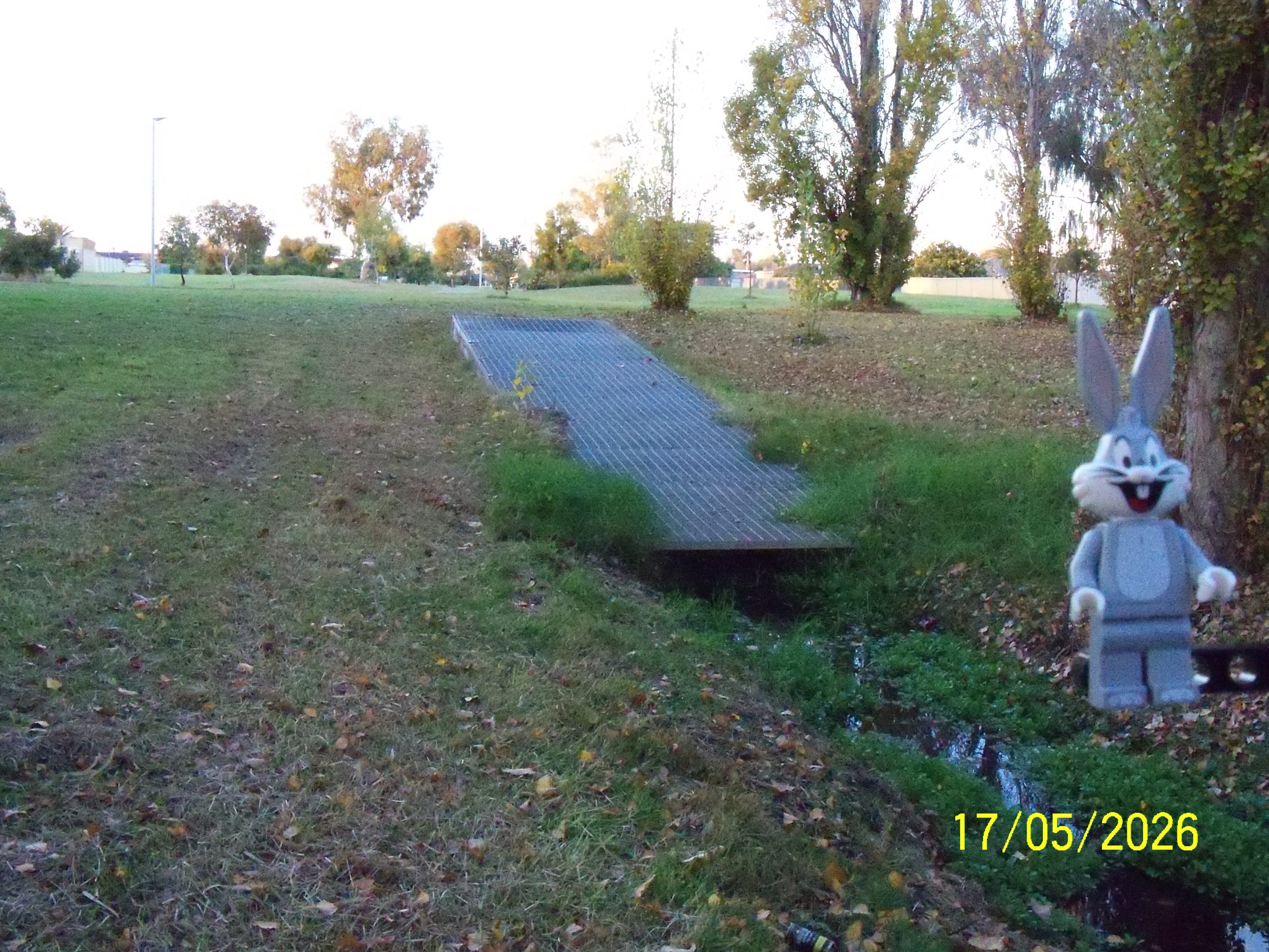
The south eastern end of the far south drain where it disappears into piping, looking south in Wallsend Street Reserve.
Below is looking north back towards Rae Road.
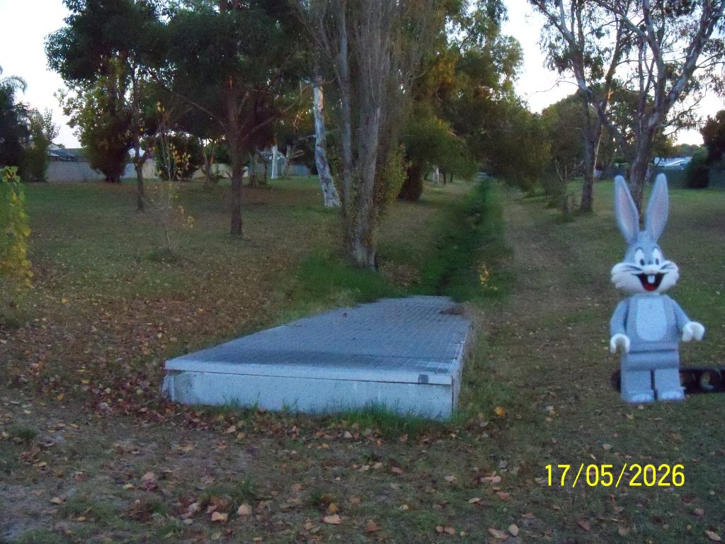
This is the drain that leads out of Lake Richmond towards Point Peron, on the west side of Safety Bay Road. This the other end of the drain that was initially shown 14Jan26 (below looking west) that leads to the photograph on 05May26.